MyTopo
Heifer Point New Mexico US Topo Map
Couldn't load pickup availability
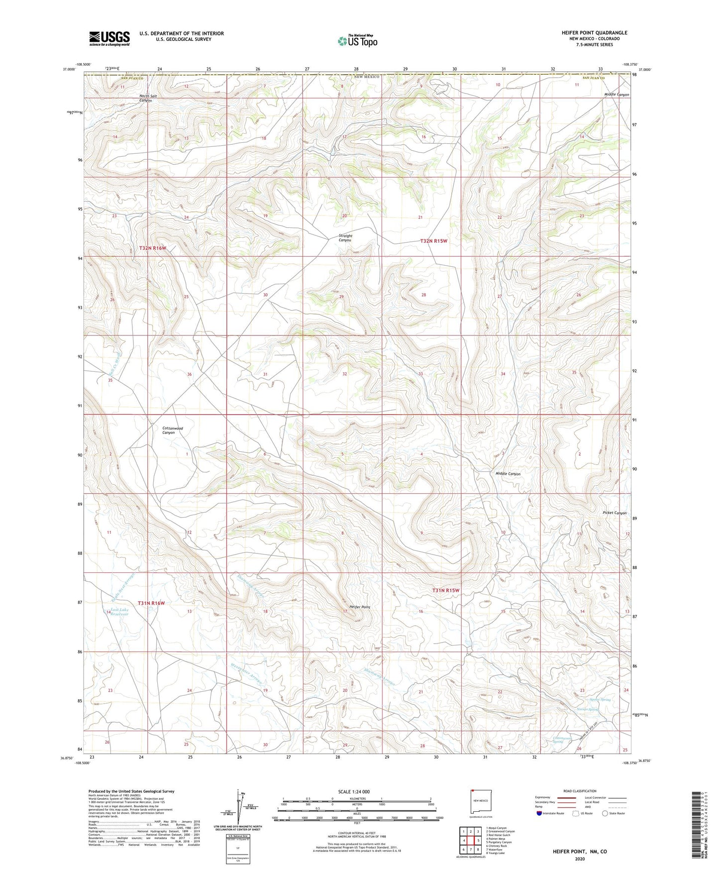
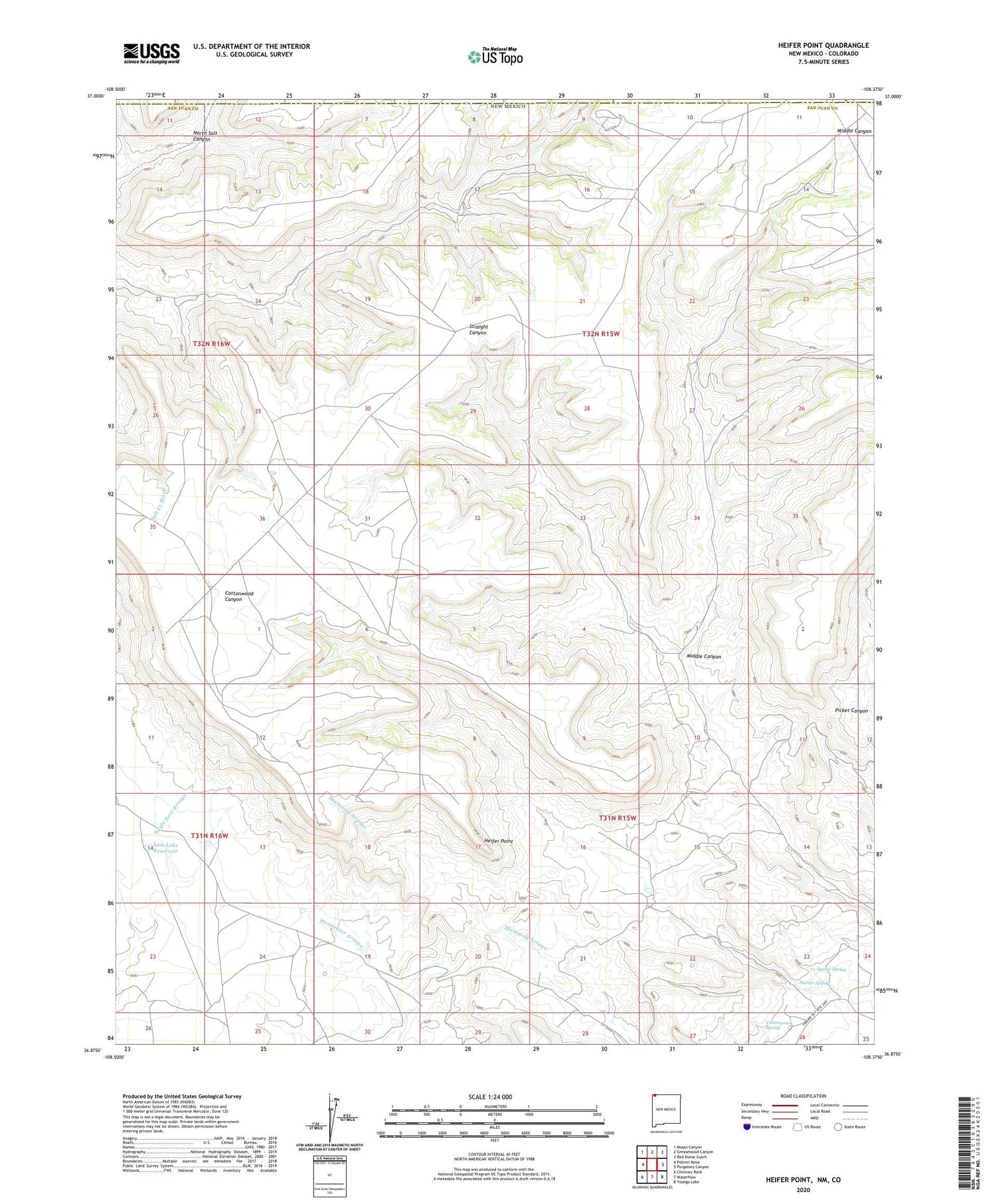
2020 topographic map quadrangle Heifer Point in the state of New Mexico. Scale: 1:24000. Based on the newly updated USGS 7.5' US Topo map series, this map is in the following counties: San Juan, Montezuma, La Plata. The map contains contour data, water features, and other items you are used to seeing on USGS maps, but also has updated roads and other features. This is the next generation of topographic maps. Printed on high-quality waterproof paper with UV fade-resistant inks.
Quads adjacent to this one:
West: Palmer Mesa
Northwest: Moqui Canyon
North: Greasewood Canyon
Northeast: Red Horse Gulch
East: Purgatory Canyon
Southeast: Youngs Lake
South: Waterflow
Southwest: Chimney Rock
Contains the following named places: A-10 Water Well, A-11 Water Well, Cottonwood Canyon Water Well, Cottonwood Spring, Heifer Point, Lost Lake Reservoir, Middle Canyon, Navajo Spring, Squaw Spring, Windmill Number A-11, Windmill Number A-12