MyTopo
Red Horse Gulch Colorado US Topo Map
Couldn't load pickup availability
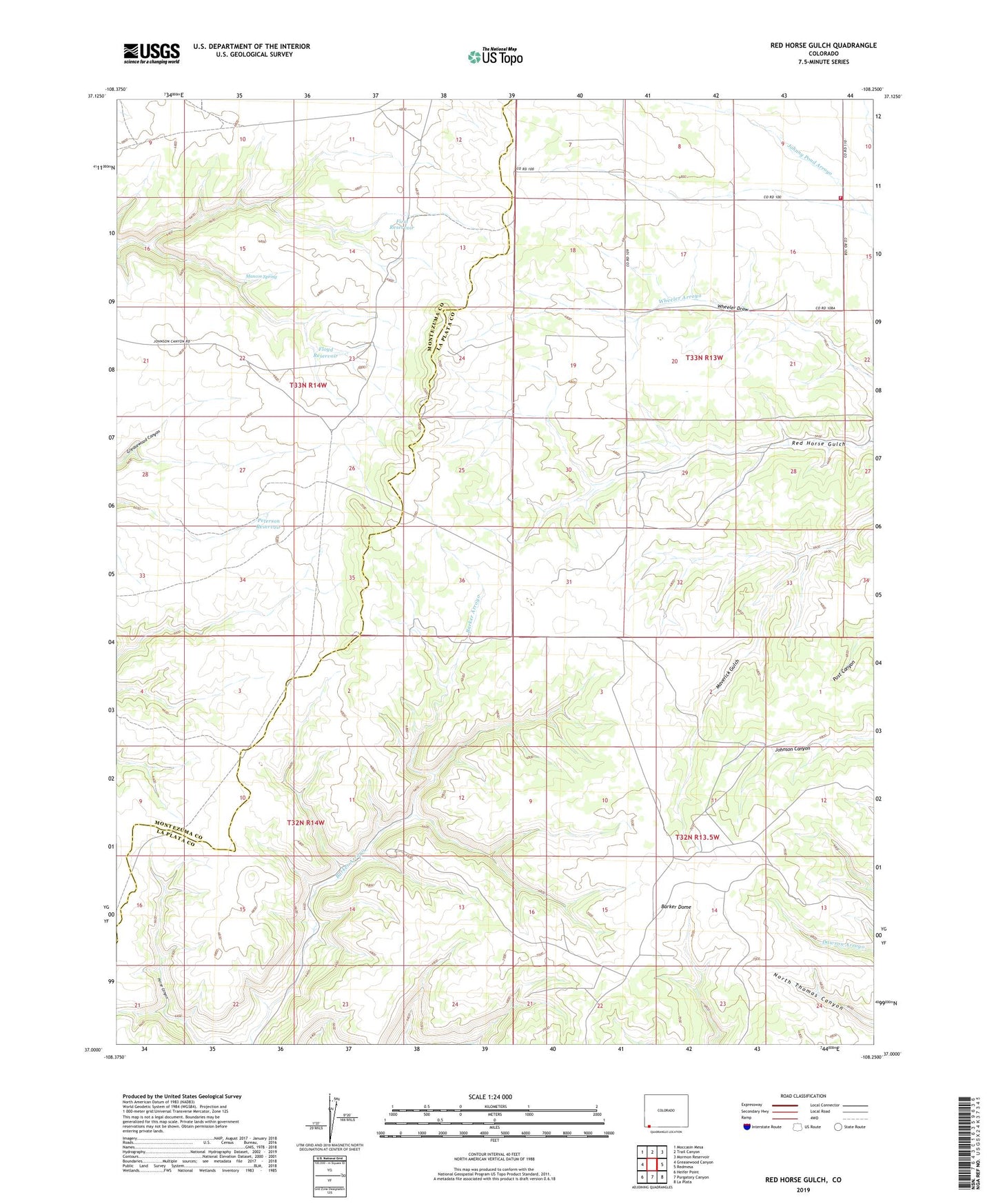
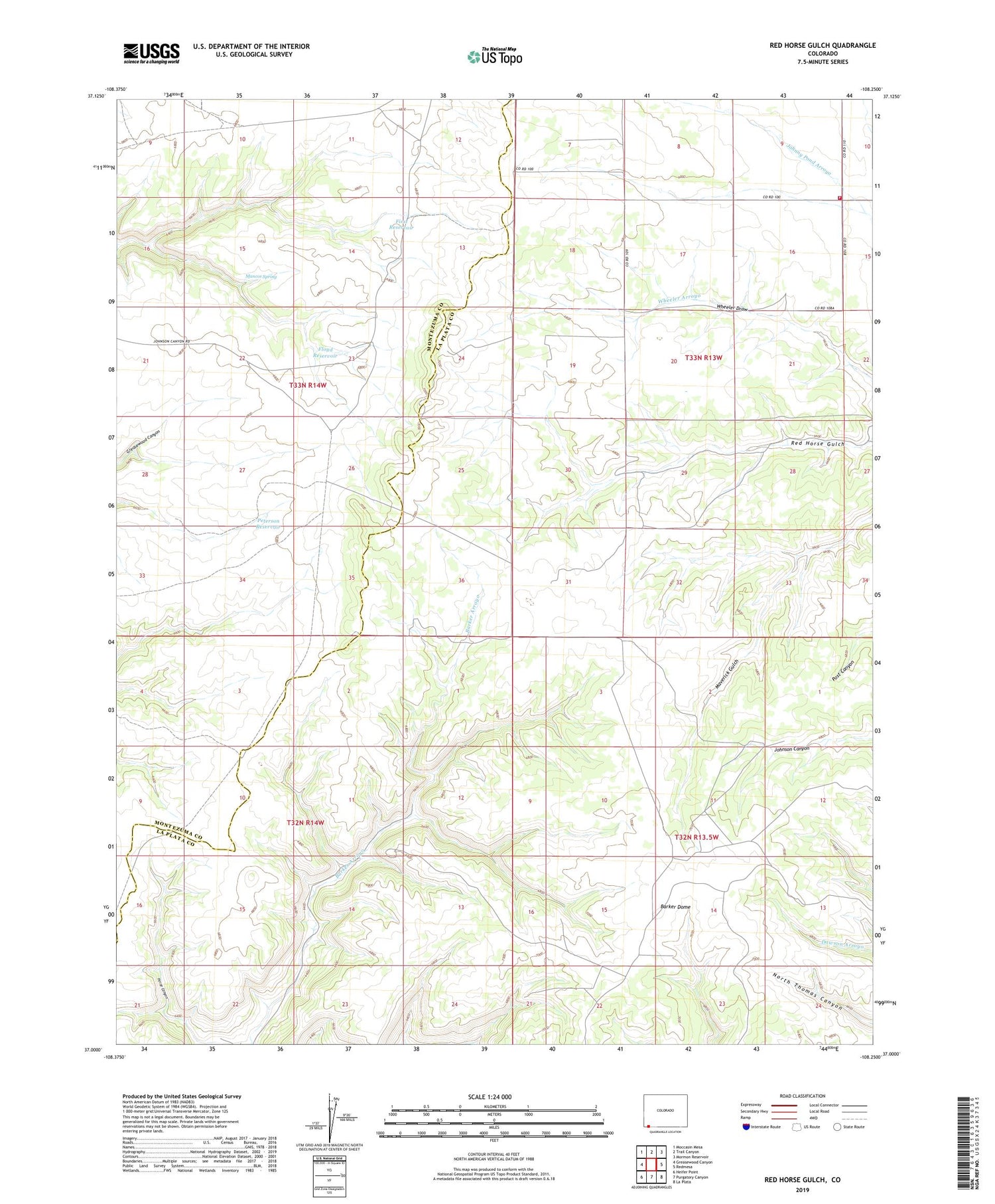
2022 topographic map quadrangle Red Horse Gulch in the state of Colorado. Scale: 1:24000. Based on the newly updated USGS 7.5' US Topo map series, this map is in the following counties: La Plata, Montezuma. The map contains contour data, water features, and other items you are used to seeing on USGS maps, but also has updated roads and other features. This is the next generation of topographic maps. Printed on high-quality waterproof paper with UV fade-resistant inks.
Quads adjacent to this one:
West: Greasewood Canyon
Northwest: Moccasin Mesa
North: Trail Canyon
Northeast: Mormon Reservoir
East: Redmesa
Southeast: La Plata
South: Purgatory Canyon
Southwest: Heifer Point
This map covers the same area as the classic USGS quad with code o37108a3.
Contains the following named places: First Reservoir, Floyd Reservoir, Fort Lewis Mesa Fire Protection District Station 4, Mancos Spring, Mountain View School, Peterson Reservoir