MyTopo
Illinois Camp SE New Mexico US Topo Map
Couldn't load pickup availability
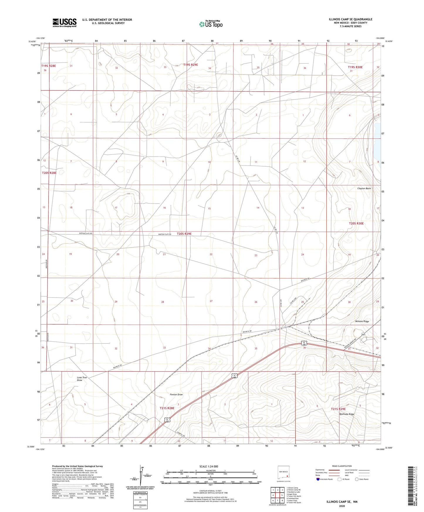
2020 topographic map quadrangle Illinois Camp SE in the state of New Mexico. Scale: 1:24000. Based on the newly updated USGS 7.5' US Topo map series, this map is in the following counties: Eddy. The map contains contour data, water features, and other items you are used to seeing on USGS maps, but also has updated roads and other features. This is the next generation of topographic maps. Printed on high-quality waterproof paper with UV fade-resistant inks.
Quads adjacent to this one:
West: Angel Draw
Northwest: Illinois Camp
North: Illinois Camp NE
Northeast: Hackberry Lake
East: Tower Hill North
Southeast: Tower Hill South
South: Indian Flats
Southwest: Carlsbad East
Contains the following named places: Chimney Well, Fenton Ranch, Getty Shaft, Gettysburg, KCDY-FM (Carlsbad), Millman South Well, National Potash Company Eddy Mine, Unite State Potash Reserve