
MyTopo
La Chata Crater New Mexico US Topo Map
Couldn't load pickup availability
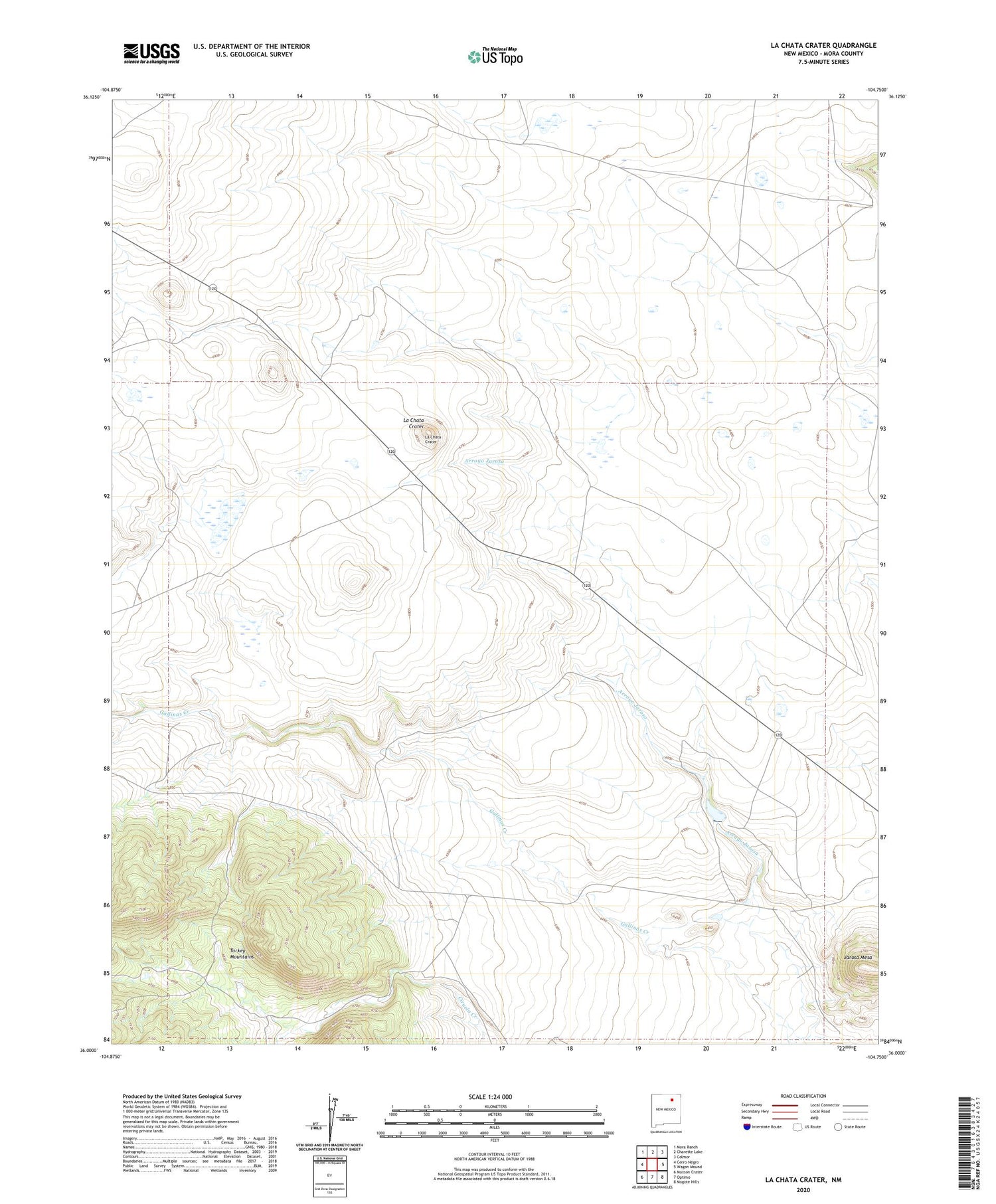
2020 topographic map quadrangle La Chata Crater in the state of New Mexico. Scale: 1:24000. Based on the newly updated USGS 7.5' US Topo map series, this map is in the following counties: Mora. The map contains contour data, water features, and other items you are used to seeing on USGS maps, but also has updated roads and other features. This is the next generation of topographic maps. Printed on high-quality waterproof paper with UV fade-resistant inks.
Quads adjacent to this one:
West: Cerro Negro
Northwest: Mora Ranch
North: Charette Lake
Northeast: Colmor
East: Wagon Mound
Southeast: Mogote Hills
South: Optimo
Southwest: Maxson Crater
Contains the following named places: Diamond A Ranch, Gallinas Creek, Jarosa Mesa, Jarosa Reservoir Dam, La Chata Crater, Santa Fe Trail, Wagon Mound Division


