MyTopo
Mogote Hills New Mexico US Topo Map
Couldn't load pickup availability
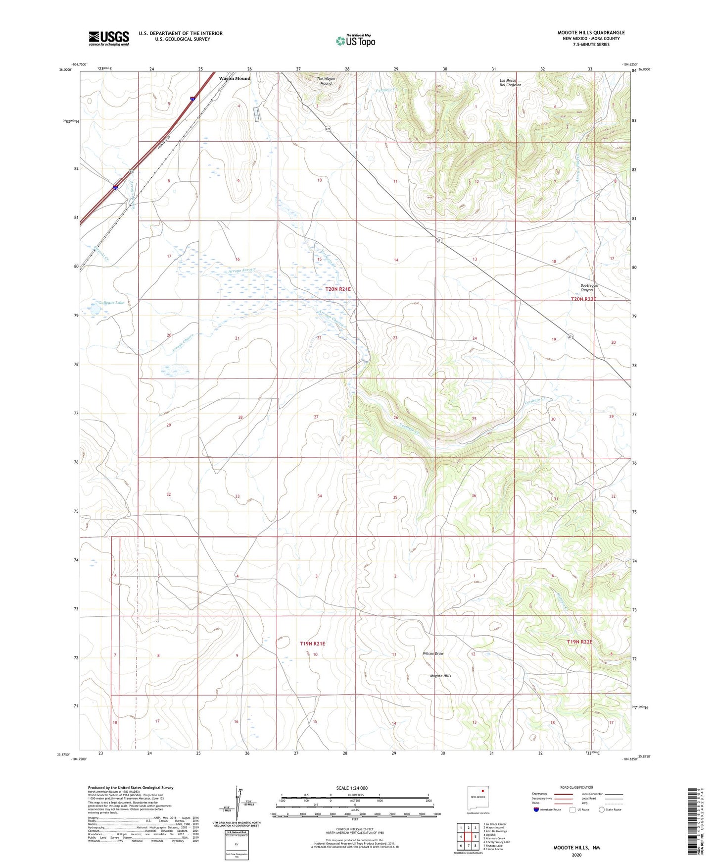
2023 topographic map quadrangle Mogote Hills in the state of New Mexico. Scale: 1:24000. Based on the newly updated USGS 7.5' US Topo map series, this map is in the following counties: Mora. The map contains contour data, water features, and other items you are used to seeing on USGS maps, but also has updated roads and other features. This is the next generation of topographic maps. Printed on high-quality waterproof paper with UV fade-resistant inks.
Quads adjacent to this one:
West: Optimo
Northwest: La Chata Crater
North: Wagon Mound
Northeast: Alto De Hormiga
East: Alamosa Creek
Southeast: Canon Ancho
South: Frutosa Lake
Southwest: Cherry Valley Lake
This map covers the same area as the classic USGS quad with code o35104h6.
Contains the following named places: Arkansas Fuel 1 Kruse, Arroyo Chorro, Arroyo Jarosa, Bootlegger Canyon, Ciruela Creek, Fulton 1 Santa Fe, Gallegos Lake, MacArthur, Mogote Hills, Sanford Ranch