MyTopo
La Segita Peaks NE New Mexico US Topo Map
Couldn't load pickup availability
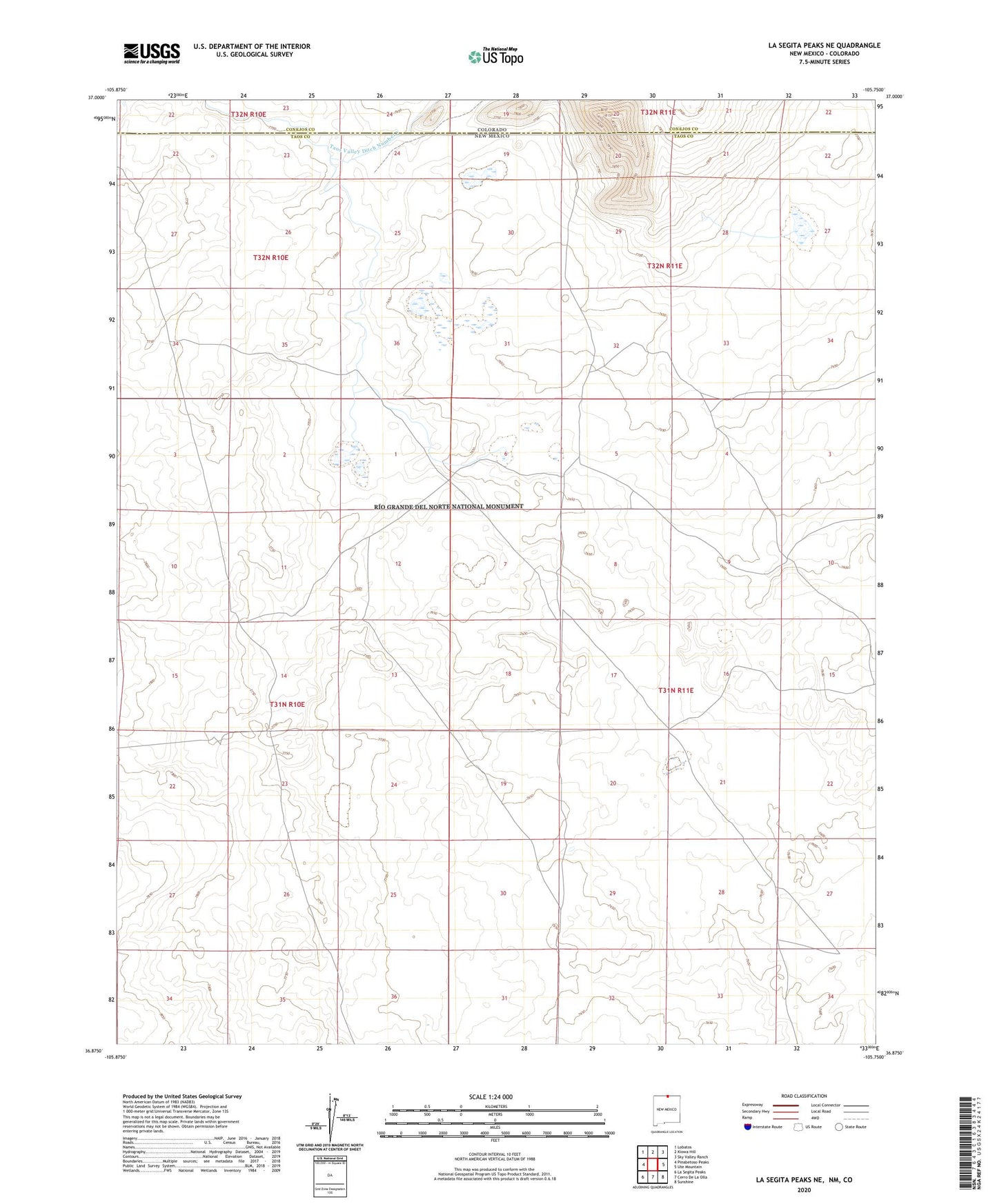
2023 topographic map quadrangle La Segita Peaks NE in the state of New Mexico. Scale: 1:24000. Based on the newly updated USGS 7.5' US Topo map series, this map is in the following counties: Taos, Conejos. The map contains contour data, water features, and other items you are used to seeing on USGS maps, but also has updated roads and other features. This is the next generation of topographic maps. Printed on high-quality waterproof paper with UV fade-resistant inks.
Quads adjacent to this one:
West: Pinabetoso Peaks
Northwest: Lobatos
North: Kiowa Hill
Northeast: Sky Valley Ranch
East: Ute Mountain
Southeast: Sunshine
South: Cerro De La Olla
Southwest: La Segita Peaks
This map covers the same area as the classic USGS quad with code o36105h7.
Contains the following named places: NM SEO Water Well, RG-43600 Water Well, Taos Valley Ditch Number 1