MyTopo
La Segita Peaks New Mexico US Topo Map
Couldn't load pickup availability
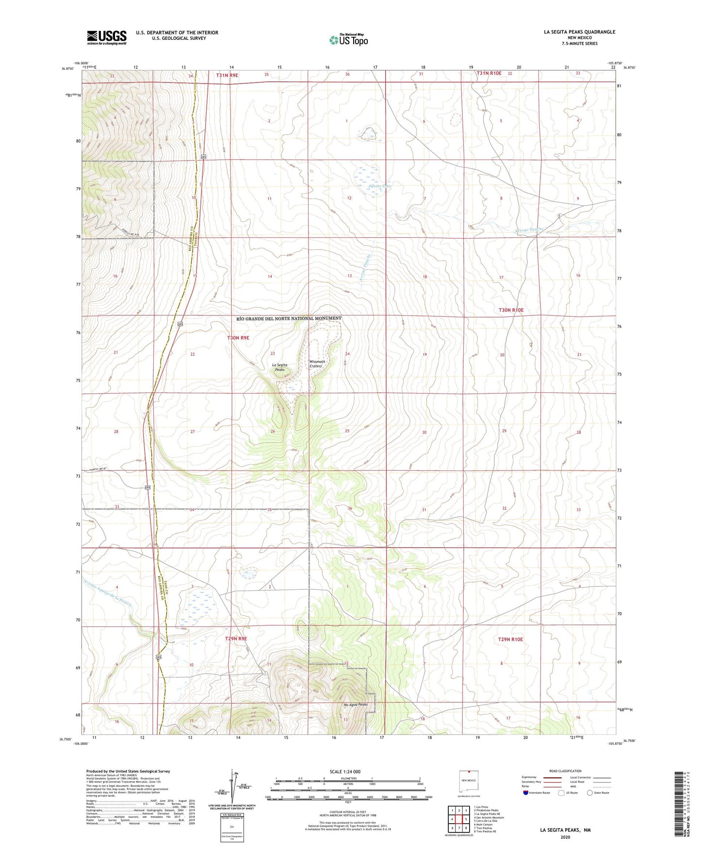
2020 topographic map quadrangle La Segita Peaks in the state of New Mexico. Scale: 1:24000. Based on the newly updated USGS 7.5' US Topo map series, this map is in the following counties: Taos, Rio Arriba. The map contains contour data, water features, and other items you are used to seeing on USGS maps, but also has updated roads and other features. This is the next generation of topographic maps. Printed on high-quality waterproof paper with UV fade-resistant inks.
Quads adjacent to this one:
West: San Antonio Mountain
Northwest: Los Pinos
North: Pinabetoso Peaks
Northeast: La Segita Peaks NE
East: Cerro De La Olla
Southeast: Tres Piedras NE
South: Tres Piedras
Southwest: Mule Canyon
Contains the following named places: Black Scoria Mine, Johns Manville Perlite Corporation, Johns-Manville Mine, La Segita Peaks, No Agua Mine, Punche Lake, United Perlite, Wissmath Craters