MyTopo
Laguna Huerfana New Mexico US Topo Map
Couldn't load pickup availability
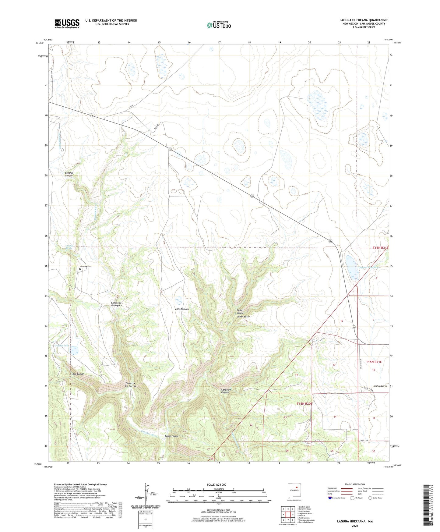
2020 topographic map quadrangle Laguna Huerfana in the state of New Mexico. Scale: 1:24000. Based on the newly updated USGS 7.5' US Topo map series, this map is in the following counties: San Miguel. The map contains contour data, water features, and other items you are used to seeing on USGS maps, but also has updated roads and other features. This is the next generation of topographic maps. Printed on high-quality waterproof paper with UV fade-resistant inks.
Quads adjacent to this one:
West: Laguna La Monia
Northwest: Goetsch Lake
North: Canon Pedroso
Northeast: Llonidas Lake
East: Trujillo
Southeast: Punta Del Chorro
South: Flagstone Mountain
Southwest: Mesa Lauriano
Contains the following named places: Box Canyon, Canada Tuloso, Canon Burro, Canon de Eugenio, Canon de las Cuevas, Canon Hondo, Canon Jaroso, Canoncito de Mogote, Conchas Spring, Crystal Lake, Greens Shipping Pens, Groseclose, Harris, Jimenez Cemetery, Laguna Huerfana, Naranjo, Old Tuloso School, Schlothauer, Valle Redondo