MyTopo
Maxson Crater New Mexico US Topo Map
Couldn't load pickup availability
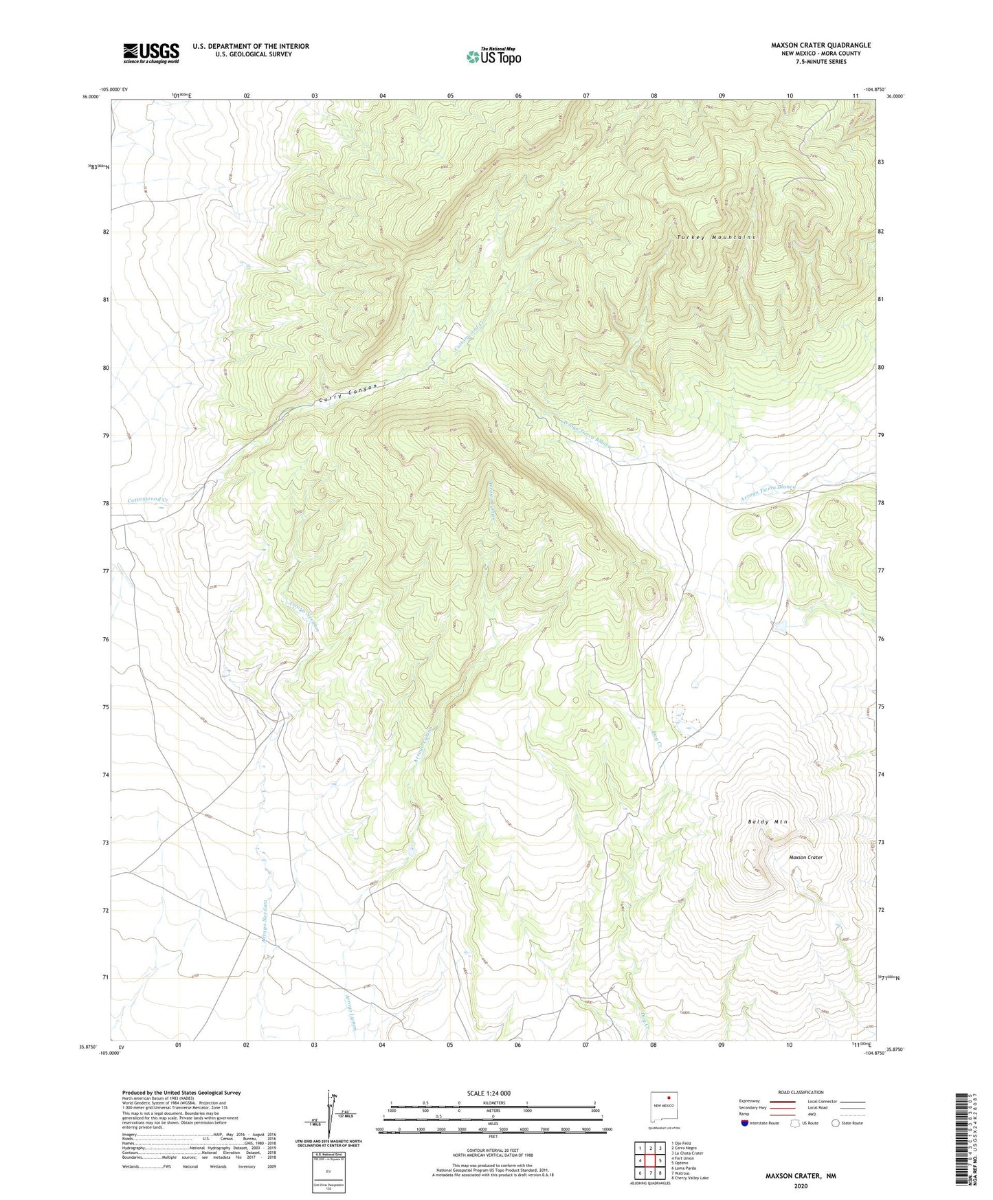
2020 topographic map quadrangle Maxson Crater in the state of New Mexico. Scale: 1:24000. Based on the newly updated USGS 7.5' US Topo map series, this map is in the following counties: Mora. The map contains contour data, water features, and other items you are used to seeing on USGS maps, but also has updated roads and other features. This is the next generation of topographic maps. Printed on high-quality waterproof paper with UV fade-resistant inks.
Quads adjacent to this one:
West: Fort Union
Northwest: Ojo Feliz
North: Cerro Negro
Northeast: La Chata Crater
East: Optimo
Southeast: Cherry Valley Lake
South: Watrous
Southwest: Loma Parda
Contains the following named places: Baldy Mountain, Cities Service 1 Fort Union, Cottonwood Creek, Curry Canyon, Horse Lake Dam, Maxson Crater, Santa Fe Trail, Turkey Mountains