MyTopo
Mesita De Yeso New Mexico US Topo Map
Couldn't load pickup availability
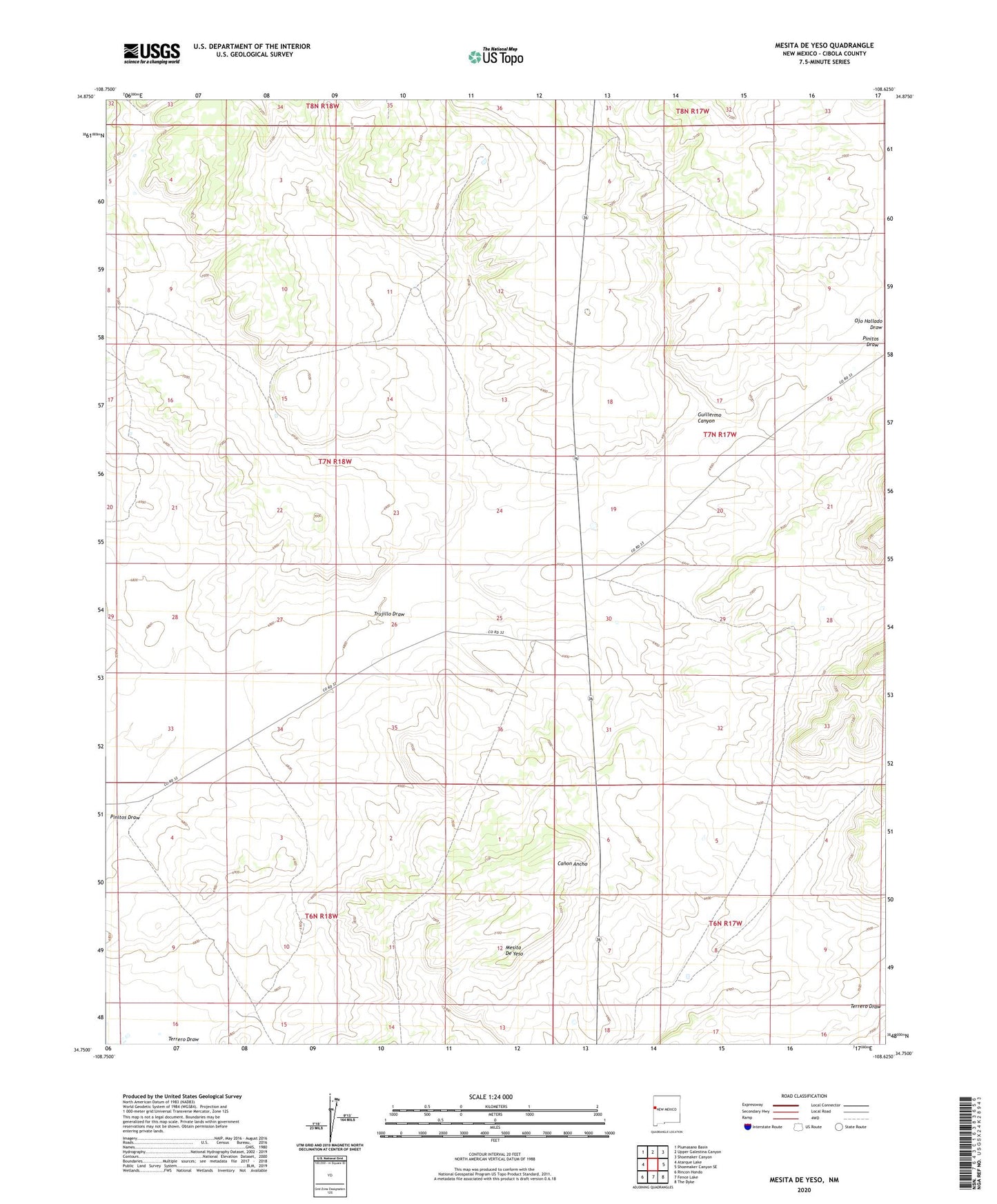
2023 topographic map quadrangle Mesita De Yeso in the state of New Mexico. Scale: 1:24000. Based on the newly updated USGS 7.5' US Topo map series, this map is in the following counties: Cibola. The map contains contour data, water features, and other items you are used to seeing on USGS maps, but also has updated roads and other features. This is the next generation of topographic maps. Printed on high-quality waterproof paper with UV fade-resistant inks.
Quads adjacent to this one:
West: Atarque Lake
Northwest: Plumasano Basin
North: Upper Galestina Canyon
Northeast: Shoemaker Canyon
East: Shoemaker Canyon SE
Southeast: The Dyke
South: Fence Lake
Southwest: Rincon Hondo
This map covers the same area as the classic USGS quad with code o34108g6.
Contains the following named places: East Joe Windmill, Guillermo Canyon, High Lonesome Windmill, Highway Water Well, Highway Windmill, Mesita De Yeso, Ojo Hallado Draw, Pine Windmill, Red Windmill, Road Windmill, Trujillo Draw, Trujillo Water Well, Trujillo Windmill, ZIP Code: 87315