
MyTopo
Moreno Hill New Mexico US Topo Map
Couldn't load pickup availability
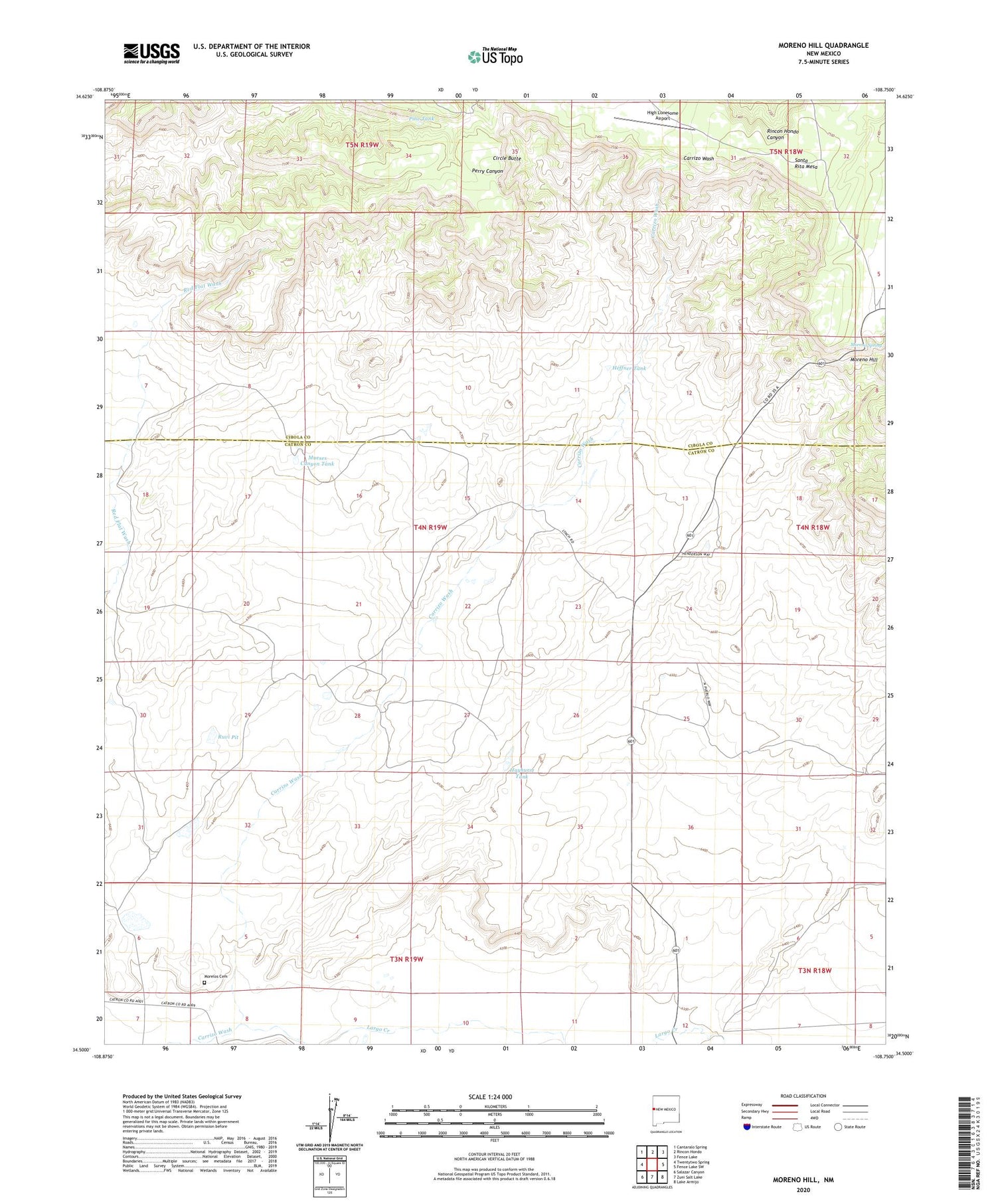
2020 topographic map quadrangle Moreno Hill in the state of New Mexico. Scale: 1:24000. Based on the newly updated USGS 7.5' US Topo map series, this map is in the following counties: Catron, Cibola. The map contains contour data, water features, and other items you are used to seeing on USGS maps, but also has updated roads and other features. This is the next generation of topographic maps. Printed on high-quality waterproof paper with UV fade-resistant inks.
Quads adjacent to this one:
West: Twentytwo Spring
Northwest: Cantaralo Spring
North: Rincon Hondo
Northeast: Fence Lake
East: Fence Lake SW
Southeast: Lake Armijo
South: Zuni Salt Lake
Southwest: Salazar Canyon
Contains the following named places: Circle Butte, Goesling Deep Well, Hayhurst Tank, Heffner Tank, High Lonesome Airport, Largo Creek, Morelos Cemetery, Moreno Hill, Mueses Canyon Tank, Pine Tank, Pueblo Water Well, Pueblo Windmill, Ruvi Pit, Santa Rita Mesa


