MyTopo
Owl Tank Canyon East New Mexico US Topo Map
Couldn't load pickup availability
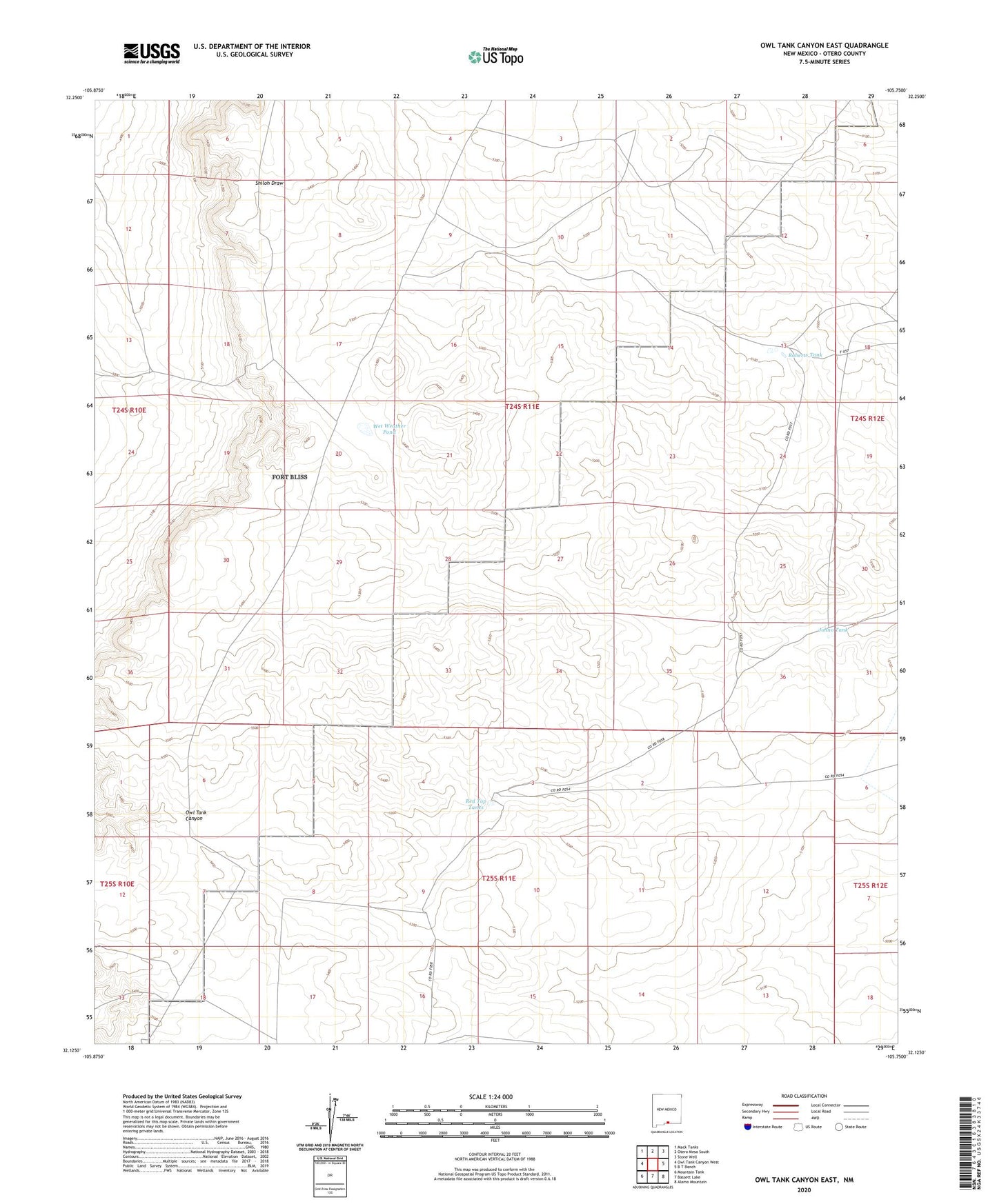
2023 topographic map quadrangle Owl Tank Canyon East in the state of New Mexico. Scale: 1:24000. Based on the newly updated USGS 7.5' US Topo map series, this map is in the following counties: Otero. The map contains contour data, water features, and other items you are used to seeing on USGS maps, but also has updated roads and other features. This is the next generation of topographic maps. Printed on high-quality waterproof paper with UV fade-resistant inks.
Quads adjacent to this one:
West: Owl Tank Canyon West
Northwest: Mack Tanks
North: Otero Mesa South
Northeast: Stone Well
East: B T Ranch
Southeast: Alamo Mountain
South: Bassett Lake
Southwest: Mountain Tank
This map covers the same area as the classic USGS quad with code o32105b7.
Contains the following named places: Johno Tank, Johno Well, Red Top Tanks, Roberts Tank, Wet Weather Pond