MyTopo
Pinon Ranch New Mexico US Topo Map
Couldn't load pickup availability
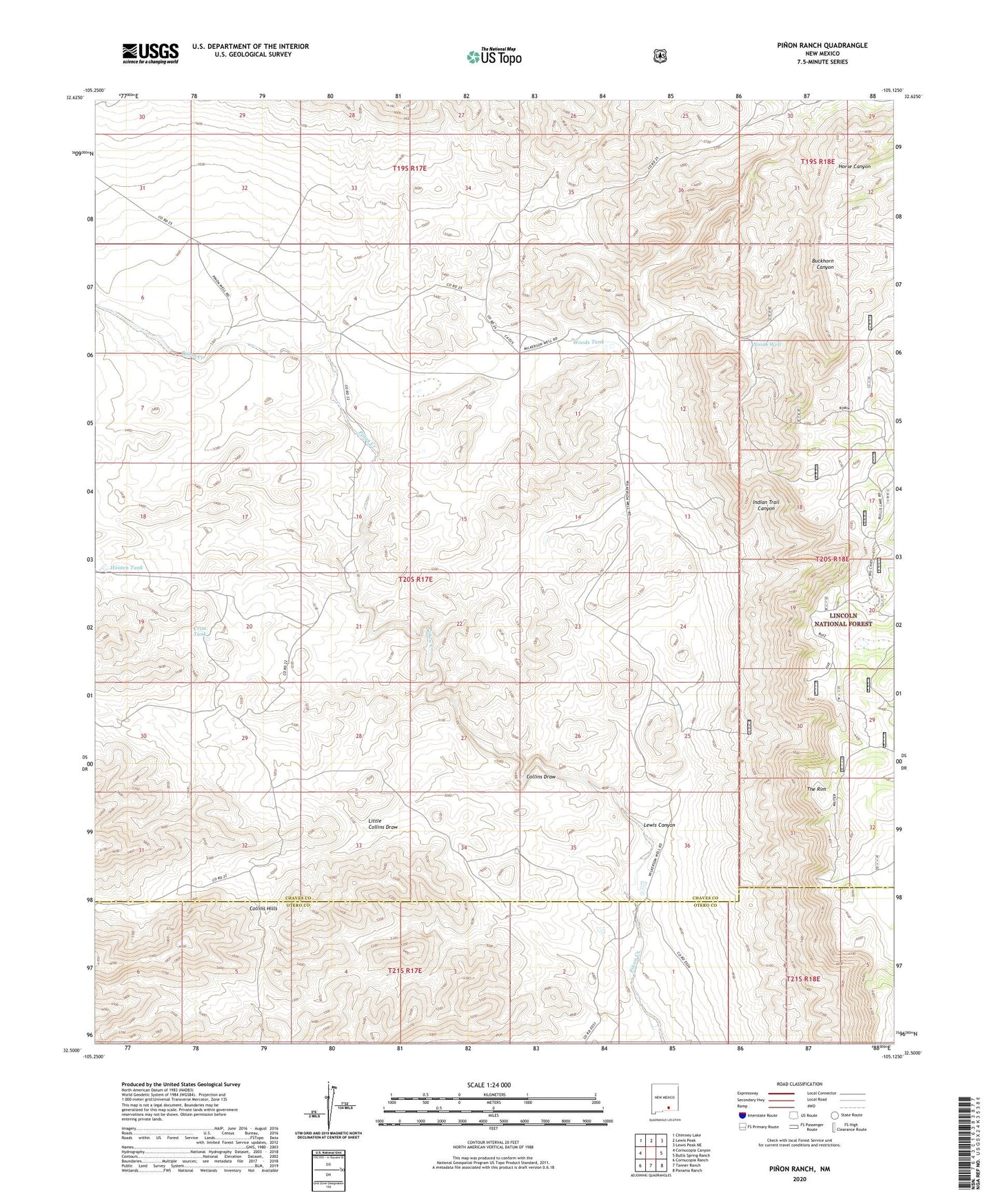
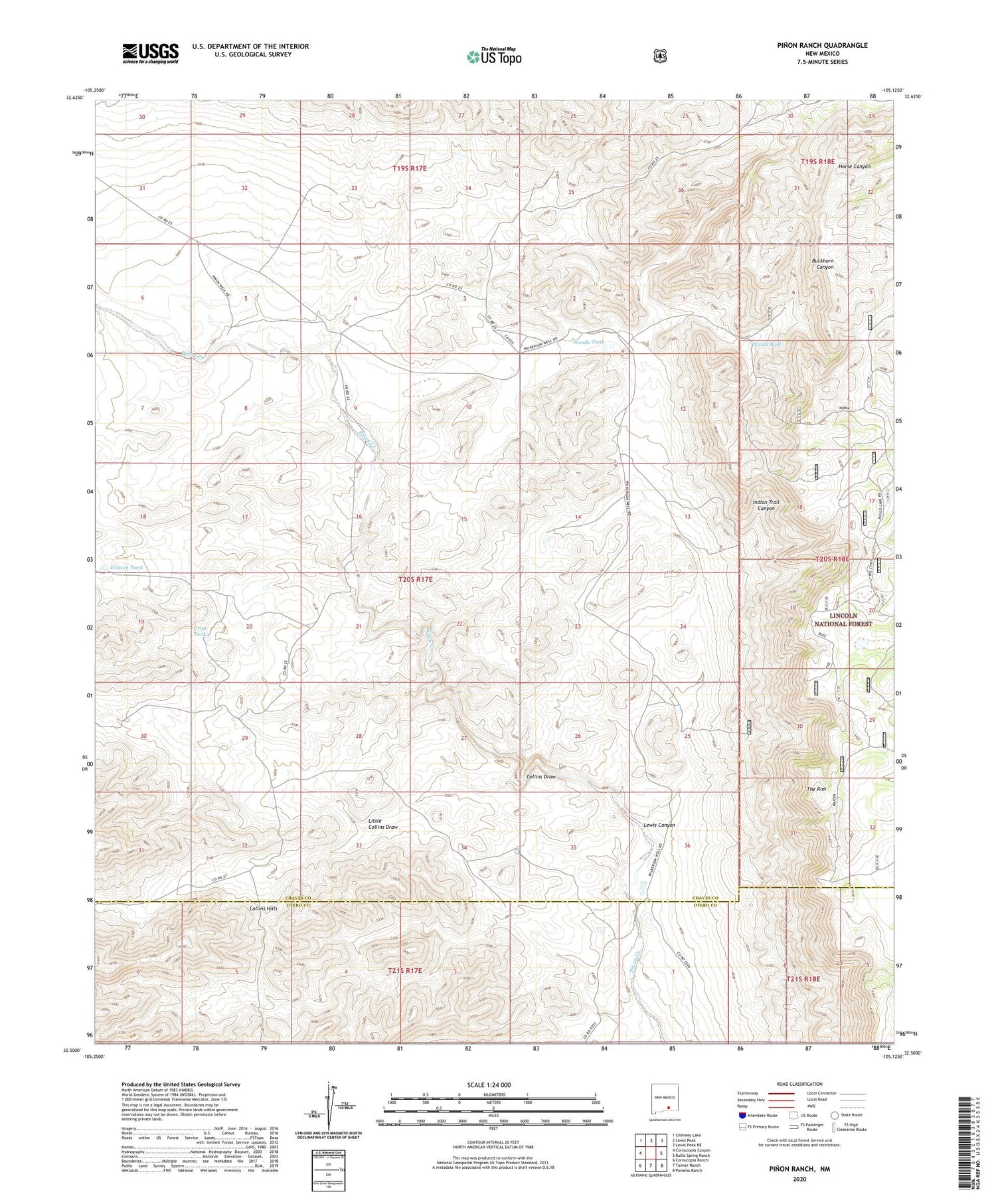
2020 topographic map quadrangle Pinon Ranch in the state of New Mexico. Scale: 1:24000. Based on the newly updated USGS 7.5' US Topo map series, this map is in the following counties: Chaves, Otero. The map contains contour data, water features, and other items you are used to seeing on USGS maps, but also has updated roads and other features. This is the next generation of topographic maps. Printed on high-quality waterproof paper with UV fade-resistant inks.
Quads adjacent to this one:
West: Cornucopia Canyon
Northwest: Chimney Lake
North: Lewis Peak
Northeast: Lewis Peak NE
East: Bullis Spring Ranch
Southeast: Panama Ranch
South: Tanner Ranch
Southwest: Cornucopia Ranch
Contains the following named places: Big Chief Water Storage Tank, Bullis Lake, Collins Draw, Crim Tank, Cunape, Hooten Tank, Lewis Canyon, Little Collins Draw, North Water Storage Tank, North Well, Pinon Ranch, Pinon Well, South Well, Twin Water Storage Tank, West Cow Water Storage, Woods Tank