MyTopo
Pueblo Bonito NW New Mexico US Topo Map
Couldn't load pickup availability
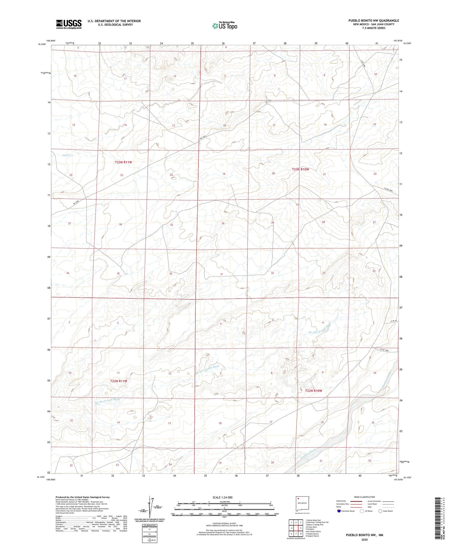
2023 topographic map quadrangle Pueblo Bonito NW in the state of New Mexico. Scale: 1:24000. Based on the newly updated USGS 7.5' US Topo map series, this map is in the following counties: San Juan. The map contains contour data, water features, and other items you are used to seeing on USGS maps, but also has updated roads and other features. This is the next generation of topographic maps. Printed on high-quality waterproof paper with UV fade-resistant inks.
Quads adjacent to this one:
West: Pretty Rock
Northwest: Alamo Mesa East
North: Huerfano Trading Post SW
Northeast: Blanco Trading Post
East: Kimbeto
Southeast: Sargent Ranch
South: Pueblo Bonito
Southwest: Kin Klizhin Ruins
This map covers the same area as the classic USGS quad with code o36107b8.
Contains the following named places: Ah-shi-sle-pah Wilderness Study Area, DH-6K Water Well, Tsun-Je-Zhin