MyTopo
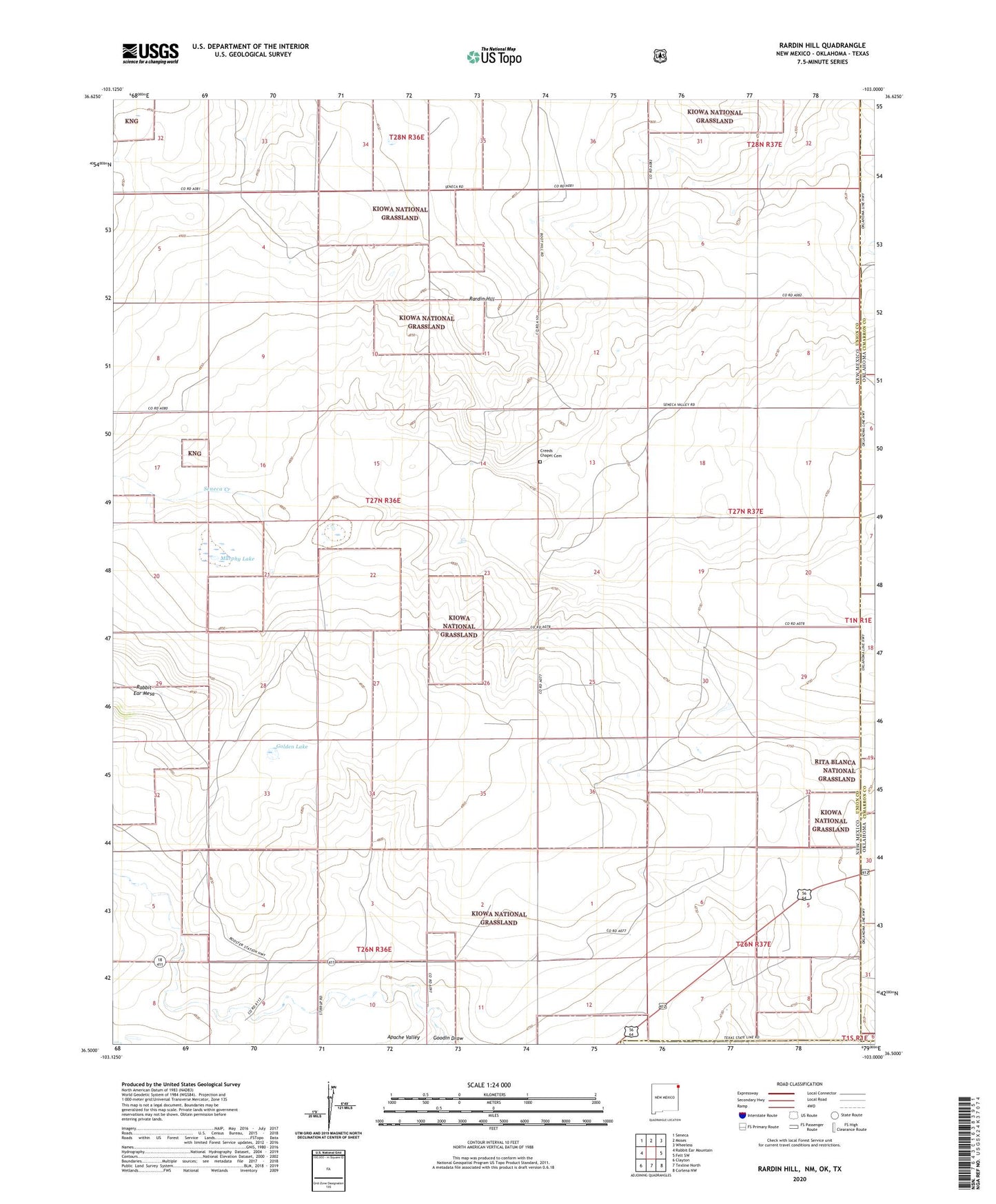
Rardin Hill New Mexico US Topo Map
Couldn't load pickup availability
Also explore the Rardin Hill Forest Service Topo of this same quad for updated USFS data
2023 topographic map quadrangle Rardin Hill in the state of New Mexico. Scale: 1:24000. Based on the newly updated USGS 7.5' US Topo map series, this map is in the following counties: Union, Cimarron, Dallam. The map contains contour data, water features, and other items you are used to seeing on USGS maps, but also has updated roads and other features. This is the next generation of topographic maps. Printed on high-quality waterproof paper with UV fade-resistant inks.
Quads adjacent to this one:
West: Rabbit Ear Mountain
Northwest: Seneca
North: Moses
Northeast: Wheeless
East: Felt SW
Southeast: Corlena NW
Southwest: Clayton
Contains the following named places: Apache Valley, Barton Windmill, Clarks Monument, Creeds Chapel Cemetery, Dorizzi Windmill, Golden Lake, Golden Windmill, Kidder Astronomical Station, Mason Windmill, Messinger Windmill, Mock Windmill, Murphy Lake, Rardin Hill