MyTopo
Red Bluff Draw East New Mexico US Topo Map
Couldn't load pickup availability
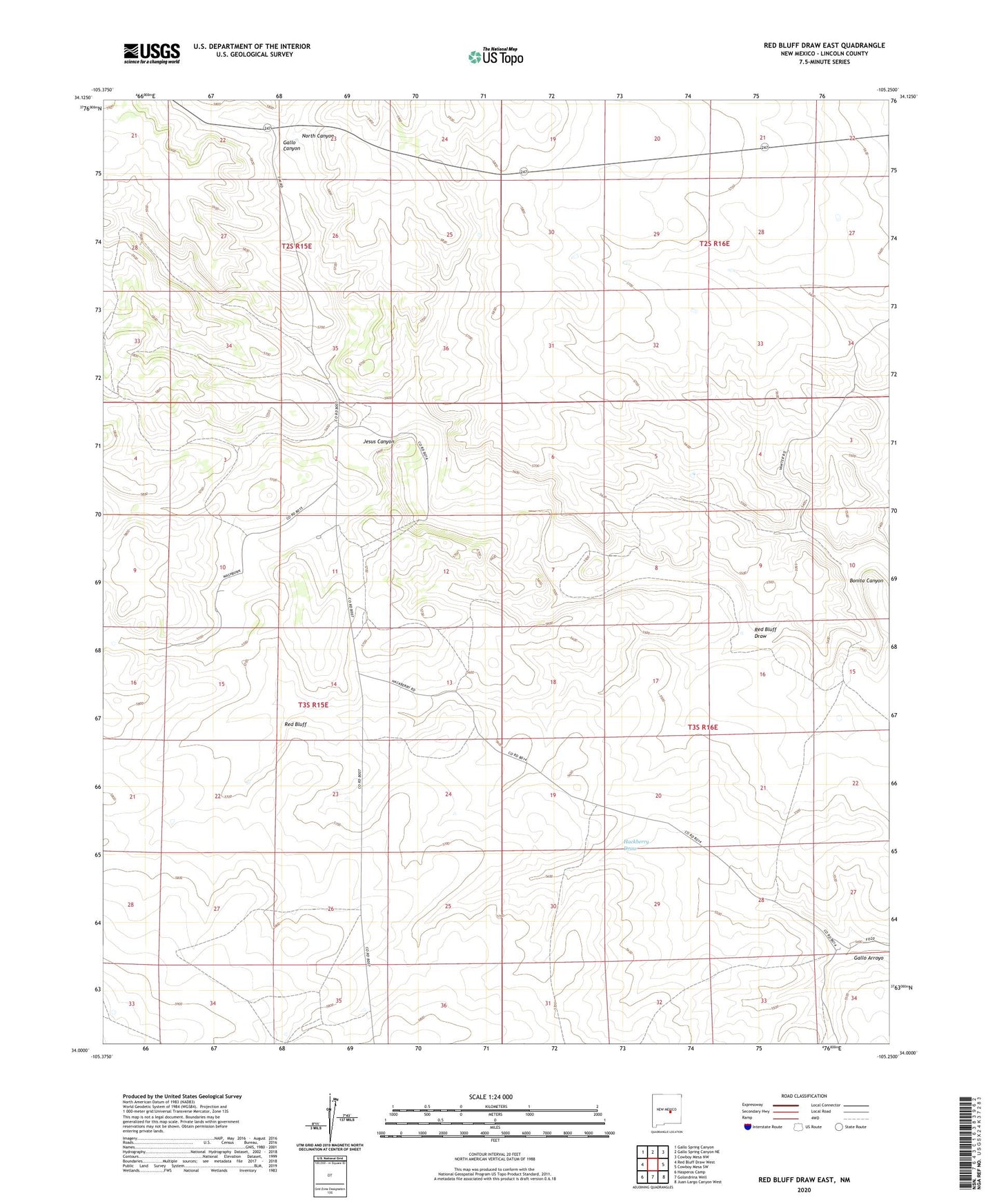
2023 topographic map quadrangle Red Bluff Draw East in the state of New Mexico. Scale: 1:24000. Based on the newly updated USGS 7.5' US Topo map series, this map is in the following counties: Lincoln. The map contains contour data, water features, and other items you are used to seeing on USGS maps, but also has updated roads and other features. This is the next generation of topographic maps. Printed on high-quality waterproof paper with UV fade-resistant inks.
Quads adjacent to this one:
West: Red Bluff Draw West
Northwest: Gallo Spring Canyon
North: Gallo Spring Canyon NE
Northeast: Cowboy Mesa NW
East: Cowboy Mesa SW
Southeast: Juan Largo Canyon West
South: Golondrina Well
Southwest: Hasperos Camp
This map covers the same area as the classic USGS quad with code o34105a3.
Contains the following named places: Bonita Canyon, Custom, Gallo Canyon, Hackberry Wells, Hall, Jesus Canyon, North Canyon, Proctor, Red Bluff, Red Bluff Draw, Strickland Ranch, Towning