MyTopo
Sentinel Butte New Mexico US Topo Map
Couldn't load pickup availability
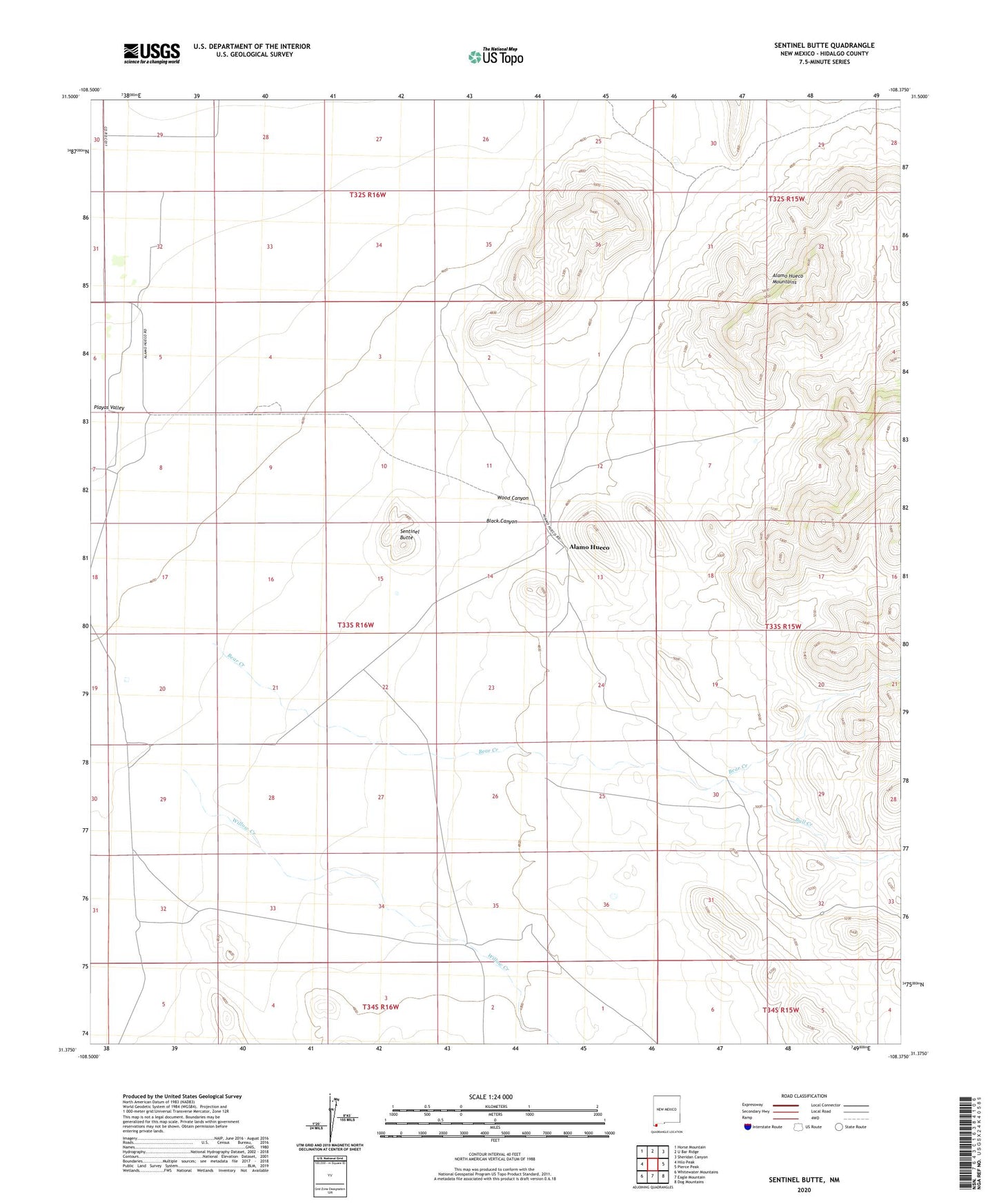
2020 topographic map quadrangle Sentinel Butte in the state of New Mexico. Scale: 1:24000. Based on the newly updated USGS 7.5' US Topo map series, this map is in the following counties: Hidalgo. The map contains contour data, water features, and other items you are used to seeing on USGS maps, but also has updated roads and other features. This is the next generation of topographic maps. Printed on high-quality waterproof paper with UV fade-resistant inks.
Quads adjacent to this one:
West: Hilo Peak
Northwest: Horse Mountain
North: U Bar Ridge
Northeast: Sheridan Canyon
East: Pierce Peak
Southeast: Dog Mountains
South: Eagle Mountain
Southwest: Whitewater Mountains
Contains the following named places: 10199 Water Well, Alamo Hueco, Alamo Hueco Historic Site, Alamo Hueco Mountains Wilderness Study Area, Bear Creek, Black Canyon, Bull Creek, Eagle Mountains Wells, Guano Mine, Haskins Wells, Nelson Water Well, Sentinel Butte, Willow Creek, Wood Canyon