MyTopo
Sierra Mosca New Mexico US Topo Map
Couldn't load pickup availability
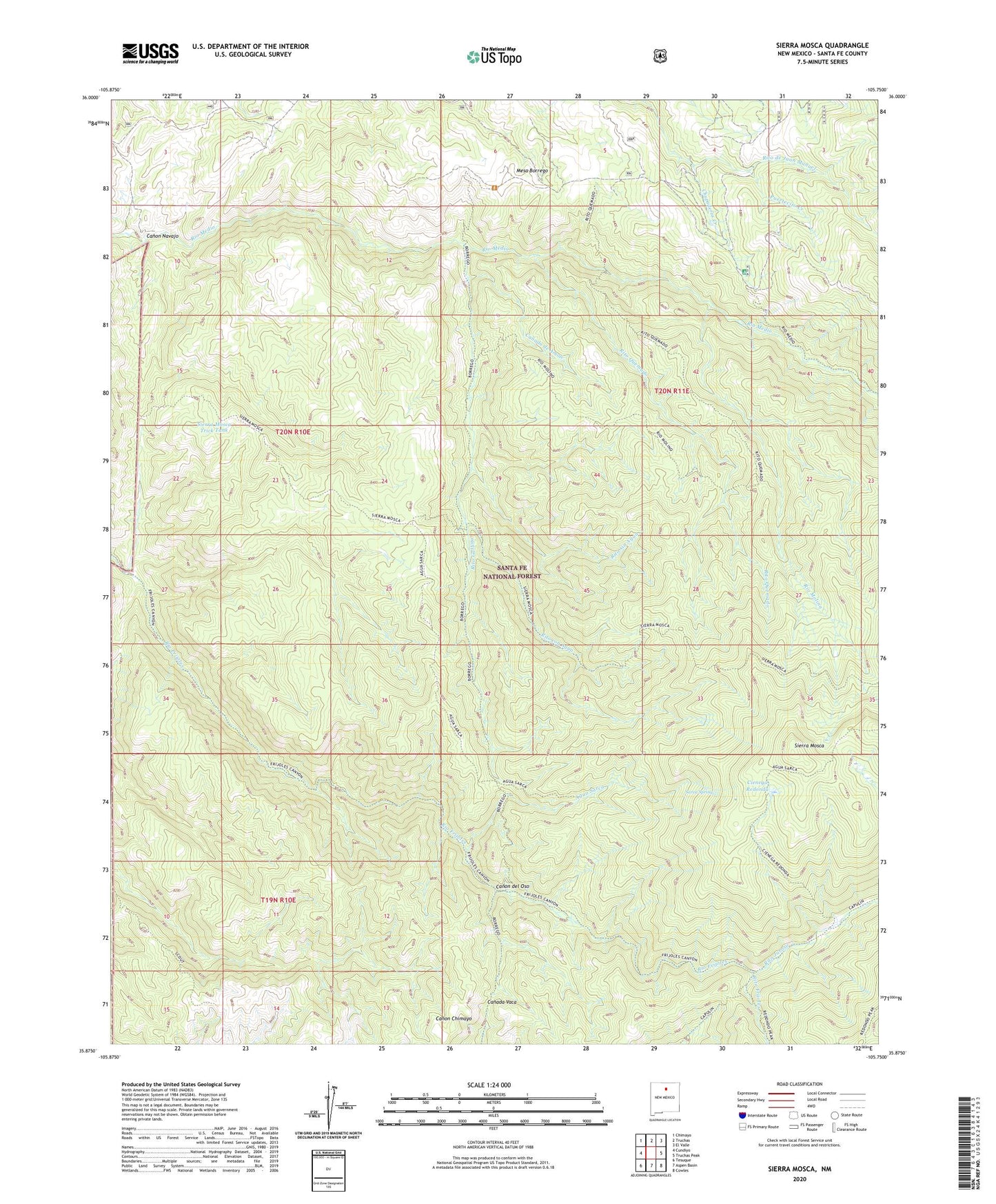
2020 topographic map quadrangle Sierra Mosca in the state of New Mexico. Scale: 1:24000. Based on the newly updated USGS 7.5' US Topo map series, this map is in the following counties: Santa Fe. The map contains contour data, water features, and other items you are used to seeing on USGS maps, but also has updated roads and other features. This is the next generation of topographic maps. Printed on high-quality waterproof paper with UV fade-resistant inks.
Quads adjacent to this one:
West: Cundiyo
Northwest: Chimayo
North: Truchas
Northeast: El Valle
East: Truchas Peak
Southeast: Cowles
South: Aspen Basin
Southwest: Tesuque
Contains the following named places: Agua Sarca, Agua Sarca Cabin, Agua Sarca Trail, Borrego Mesa Campground, Canada de Amole, Canon del Oso, Canon Navajo, Chupaderos Creek, Cienega Redonda, Medio Dia Trail, Mesa Borrego, Pajarita Cabin, Panchuela West, Puertecito Creek, Rio Capulin Trail, Rio Frijoles Trail, Rio Molino, Rio Molino Trail, Rito con Agua, Rito Frijoles, Rito Gallina, Rito Quemado, Rito sin Agua, Santa Rita Beryl Prospect, Sarca Spring, Sierra Mosca, Sierra Mosca Trick Tank, ZIP Code: 87522