MyTopo
Swallow Nest Canyon New Mexico US Topo Map
Couldn't load pickup availability
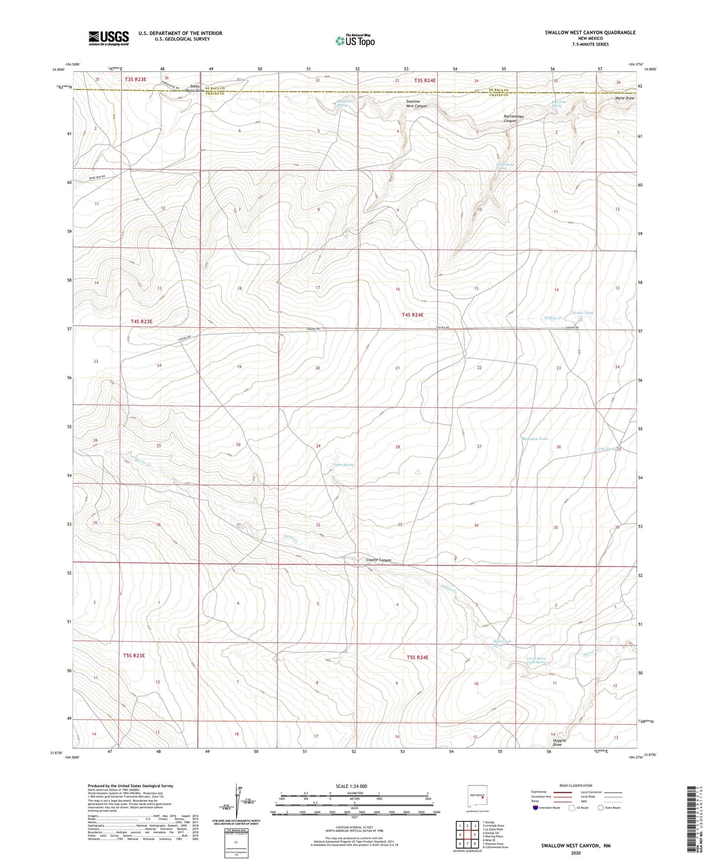
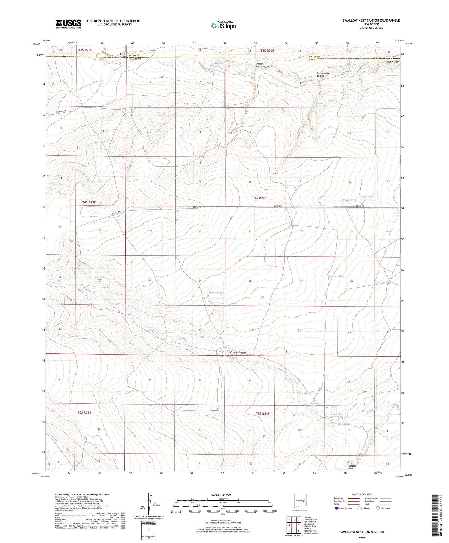
2020 topographic map quadrangle Swallow Nest Canyon in the state of New Mexico. Scale: 1:24000. Based on the newly updated USGS 7.5' US Topo map series, this map is in the following counties: Chaves, De Baca. The map contains contour data, water features, and other items you are used to seeing on USGS maps, but also has updated roads and other features. This is the next generation of topographic maps. Printed on high-quality waterproof paper with UV fade-resistant inks.
Quads adjacent to this one:
West: Dunlap Sill
Northwest: Dunlap
North: Lovelady Draw
Northeast: La Espia Peak
East: Deering Place
Southeast: Cottonwood Draw
South: Shannon Draw
Southwest: Mesa SE
Contains the following named places: 10382 Water Well, 10723 Water Well, 10727 Water Well, 10728 Water Well, 10729 Water Well, 10730 Water Well, 10731 Water Well, Blue Hole Spring, Camack Well, Cavel School, Cottonwood Well, Coyote Canyon, Coyote Spring, Deep Well, Drager Well, Drake Tank, Headwater Spring, Highwater Well, Horse Creek, Horse Creek Spring, Horse Creek Well, Lower Horse Creek Spring, North Tank, Rattlesnake Canyon, Rattlesnake Spring, Redman Tank, Sacra Ranch, School Section Well, South Wylie Draw, Swallow Nest Canyon, Wyly Well