MyTopo
Shannon Draw New Mexico US Topo Map
Couldn't load pickup availability
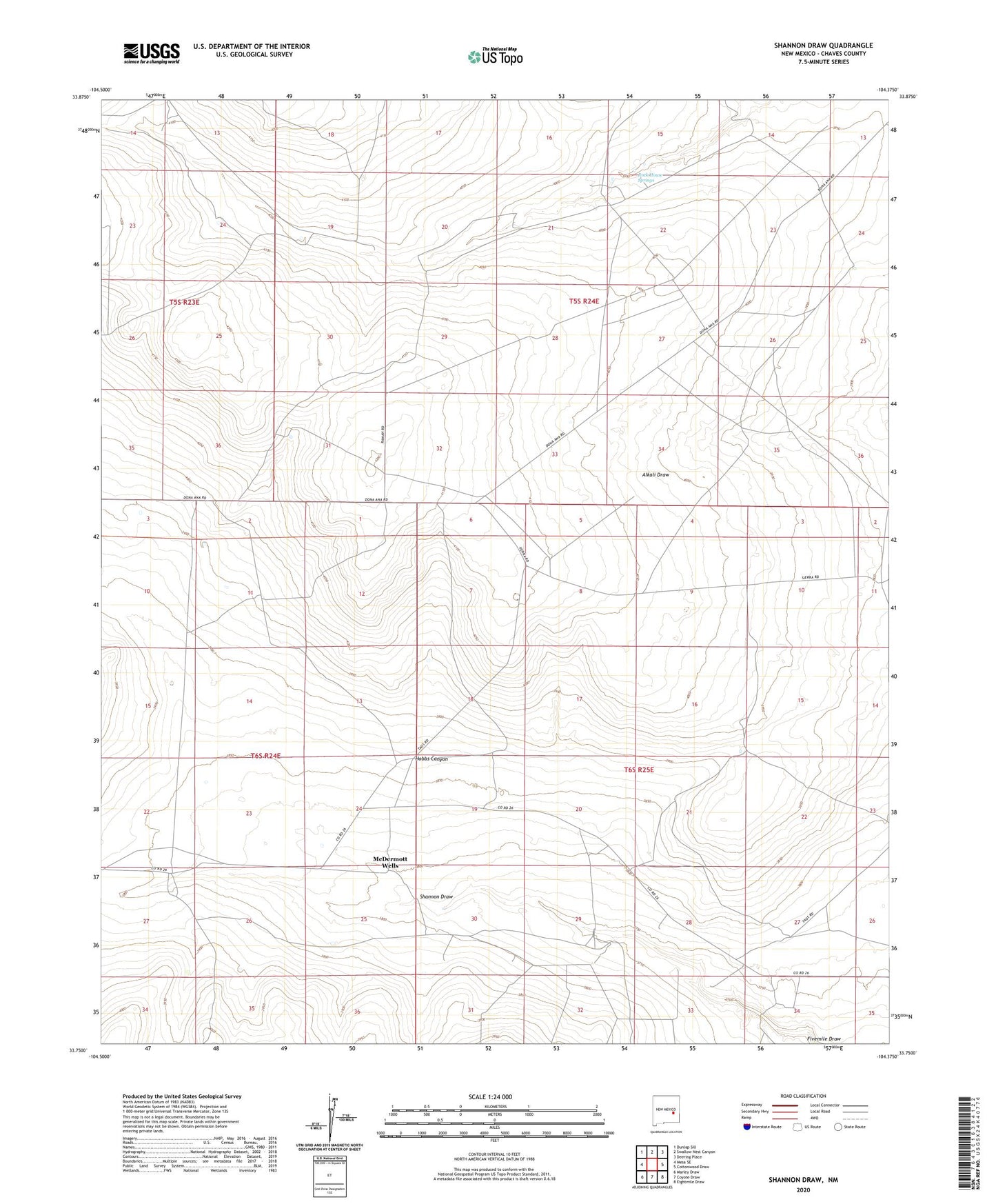
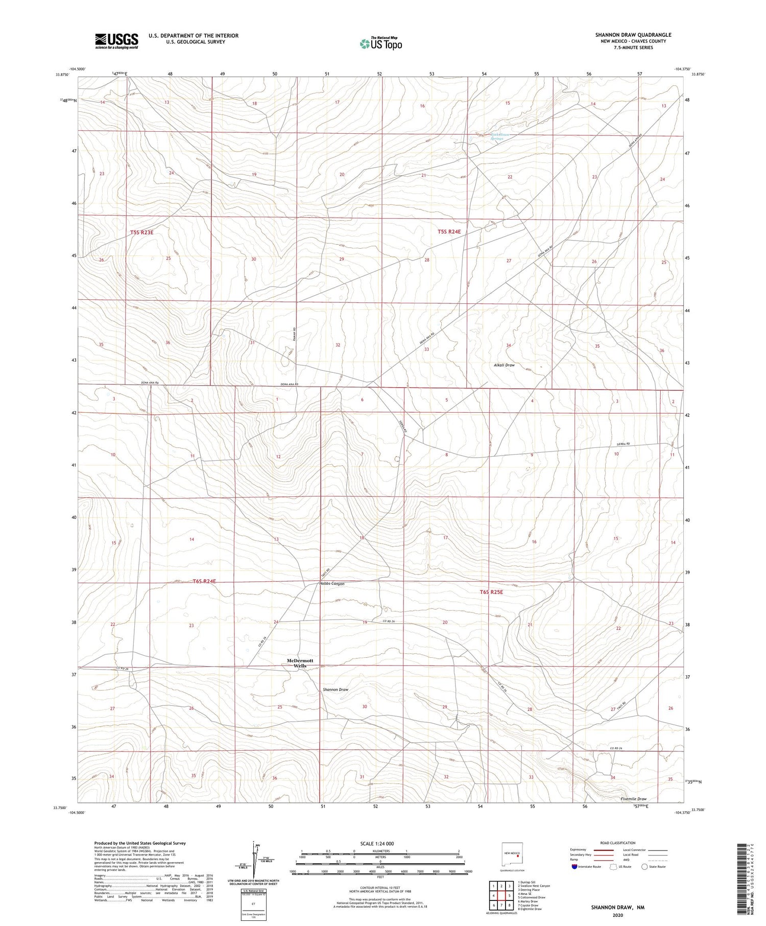
2023 topographic map quadrangle Shannon Draw in the state of New Mexico. Scale: 1:24000. Based on the newly updated USGS 7.5' US Topo map series, this map is in the following counties: Chaves. The map contains contour data, water features, and other items you are used to seeing on USGS maps, but also has updated roads and other features. This is the next generation of topographic maps. Printed on high-quality waterproof paper with UV fade-resistant inks.
Quads adjacent to this one:
West: Mesa SE
Northwest: Dunlap Sill
North: Swallow Nest Canyon
Northeast: Deering Place
East: Cottonwood Draw
Southeast: Eightmile Draw
South: Coyote Draw
Southwest: Marley Draw
This map covers the same area as the classic USGS quad with code o33104g4.
Contains the following named places: Alkali Well, Blue Water Well, Costel Windmill, East Fivemile Well, East Stancel Corral, Finley Well, Fivemile Ranch, Foreman Well, Headquarters Well, Hobbs Canyon, Jess Well, McDermott Wells, Middle Well, Rock House Springs, Shannon Draw, The Well