MyTopo
Tate School New Mexico US Topo Map
Couldn't load pickup availability
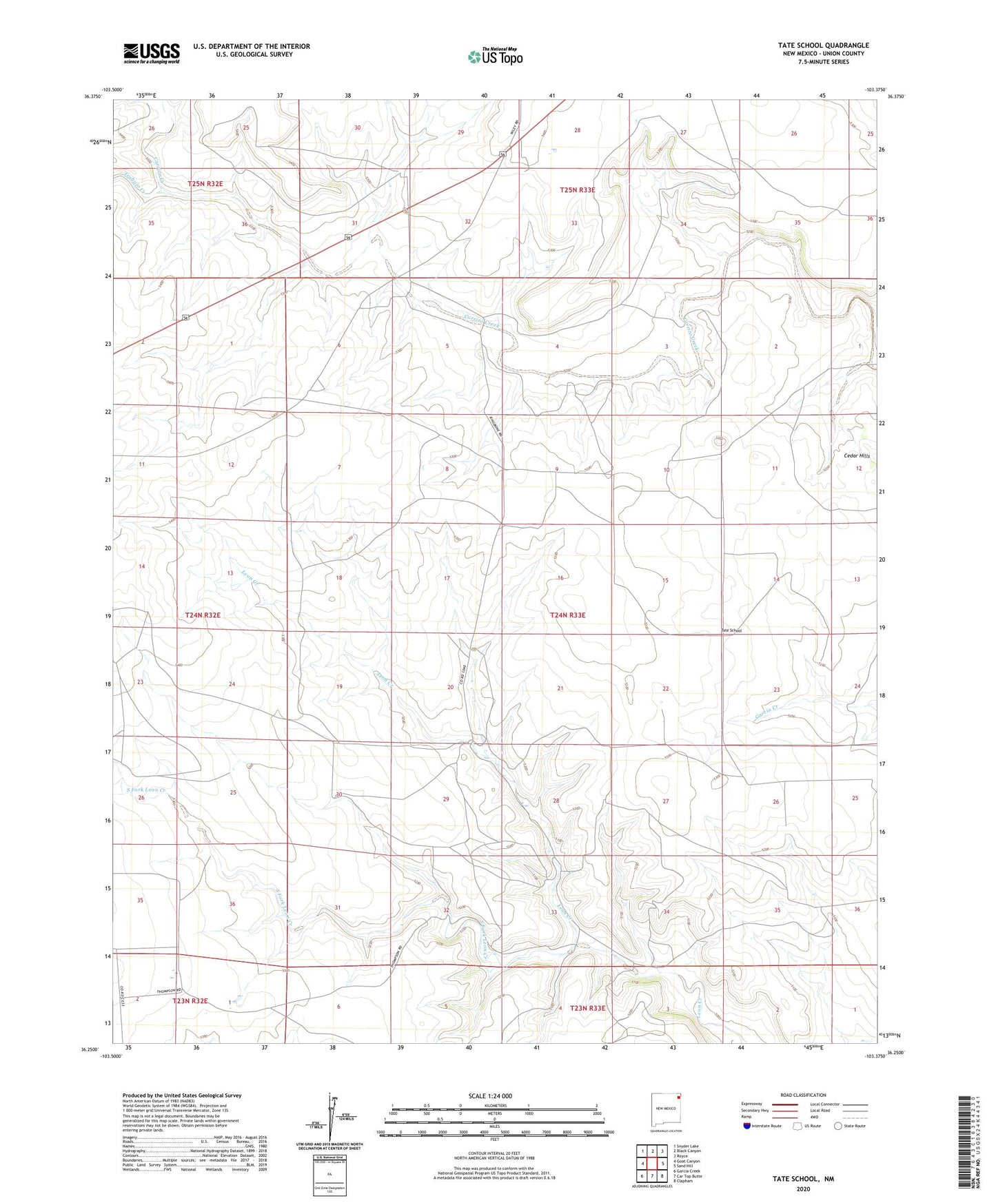
2023 topographic map quadrangle Tate School in the state of New Mexico. Scale: 1:24000. Based on the newly updated USGS 7.5' US Topo map series, this map is in the following counties: Union. The map contains contour data, water features, and other items you are used to seeing on USGS maps, but also has updated roads and other features. This is the next generation of topographic maps. Printed on high-quality waterproof paper with UV fade-resistant inks.
Quads adjacent to this one:
West: Goat Canyon
Northwest: Snyder Lake
North: Black Canyon
Northeast: Royce
East: Sand Hill
Southeast: Clapham
South: Car Top Butte
Southwest: Garcia Creek
This map covers the same area as the classic USGS quad with code o36103c4.
Contains the following named places: Coffee Well, Middle Well, Ostrander Well, South Fork Leon Creek, Tate, Tate Post Office, Tate School, Thomason School, Trabajo Creek, Virgil Well, Woven Wire Well