MyTopo
Tenaja Mesa New Mexico US Topo Map
Couldn't load pickup availability
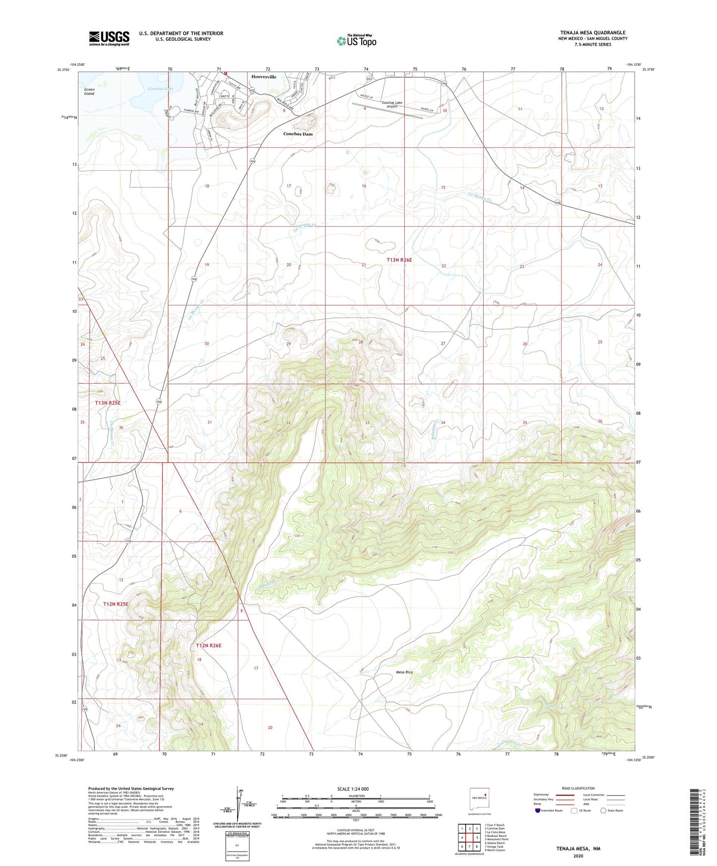
2020 topographic map quadrangle Tenaja Mesa in the state of New Mexico. Scale: 1:24000. Based on the newly updated USGS 7.5' US Topo map series, this map is in the following counties: San Miguel. The map contains contour data, water features, and other items you are used to seeing on USGS maps, but also has updated roads and other features. This is the next generation of topographic maps. Printed on high-quality waterproof paper with UV fade-resistant inks.
Quads adjacent to this one:
West: Bookout Ranch
Northwest: Four V Ranch
North: Conchas Dam
Northeast: La Cinta Mesa
East: Monument Point
Southeast: Muniz Canyon
South: Ortega Tank
Southwest: Neafus Ranch
Contains the following named places: Baracos Creek, Big Pocket Windmill, Conchas, Conchas Dam Census Designated Place, Conchas Dam Post Office, Conchas Lake Airport, Green Island, La Manga Camp, Saladito Creek, Saladito Point Windmill, Saladito Trap Windmill, Saladito Windmill, San Miguel County Fire District Conchas Dam Fire and Rescue Station 1, Upper La Manga Windmill, ZIP Code: 88416