MyTopo
Texas Hill New Mexico US Topo Map
Couldn't load pickup availability
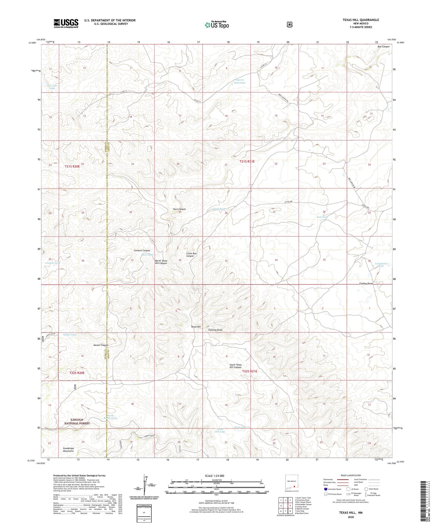
2020 topographic map quadrangle Texas Hill in the state of New Mexico. Scale: 1:24000. Based on the newly updated USGS 7.5' US Topo map series, this map is in the following counties: Eddy, Otero. The map contains contour data, water features, and other items you are used to seeing on USGS maps, but also has updated roads and other features. This is the next generation of topographic maps. Printed on high-quality waterproof paper with UV fade-resistant inks.
Quads adjacent to this one:
West: Packsaddle Canyon
Northwest: South Taylor Tank
North: Strychnine Draw
Northeast: Box Canyon Ranch
East: Cawley Draw
Southeast: Red Bluff Draw
South: Ares Peak
Southwest: Algerita Canyon
Contains the following named places: Acrey Lake, Armstrong and Armstrong Ranch, Bates Windmill, Boulder Tank, Boulder Waterhole, Box Shack Well, Cement Canyon, Cement Tank, Cement Well, Fanning Tank, Gail Tank, Howell Tank, Larrimore Tank, McGonigle Tanks, Nester Canyon, Nester Tank, New Dirt Tank, North Rocky Tank, North Texas Hill Canyon, Red Tank, Seco Canyon, Seco Tank, Segrest Waterhole, Sunshine Tank, Texas Deep Well, Texas Hill, Texas Hill Camp, Texas Hill Lake, Tin Tank