MyTopo
Three Rivers NW New Mexico US Topo Map
Couldn't load pickup availability
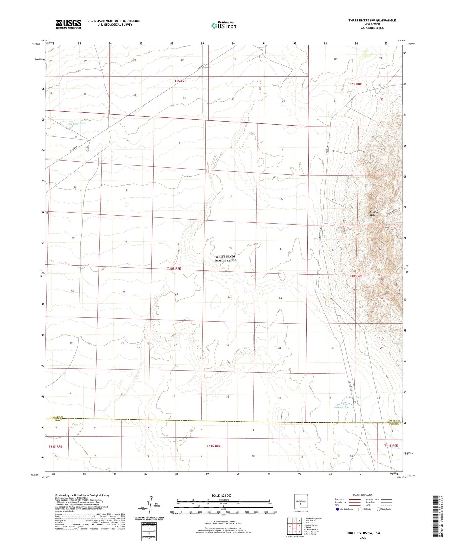
2020 topographic map quadrangle Three Rivers NW in the state of New Mexico. Scale: 1:24000. Based on the newly updated USGS 7.5' US Topo map series, this map is in the following counties: Lincoln, Otero. The map contains contour data, water features, and other items you are used to seeing on USGS maps, but also has updated roads and other features. This is the next generation of topographic maps. Printed on high-quality waterproof paper with UV fade-resistant inks.
Quads adjacent to this one:
West: Mound Springs
Northwest: Mockingbird Gap SE
North: Bull Gap SW
Northeast: Bull Gap
East: Oscura
Southeast: Three Rivers
South: Three Rivers SW
Southwest: Capitol Peak SE
Contains the following named places: Coon Well, Dog Town Tank, Jackson Draw, Lathan Ranch, Mayes Ranch, North Mill Arroyo, ORC Fire Water Well, Oscura Aaf Aux, Oscura Range Center, Phillips Hills, Roberson Place, South Gililland Well, Upper Steer Pasture Tank