MyTopo
Tucson Spring New Mexico US Topo Map
Couldn't load pickup availability
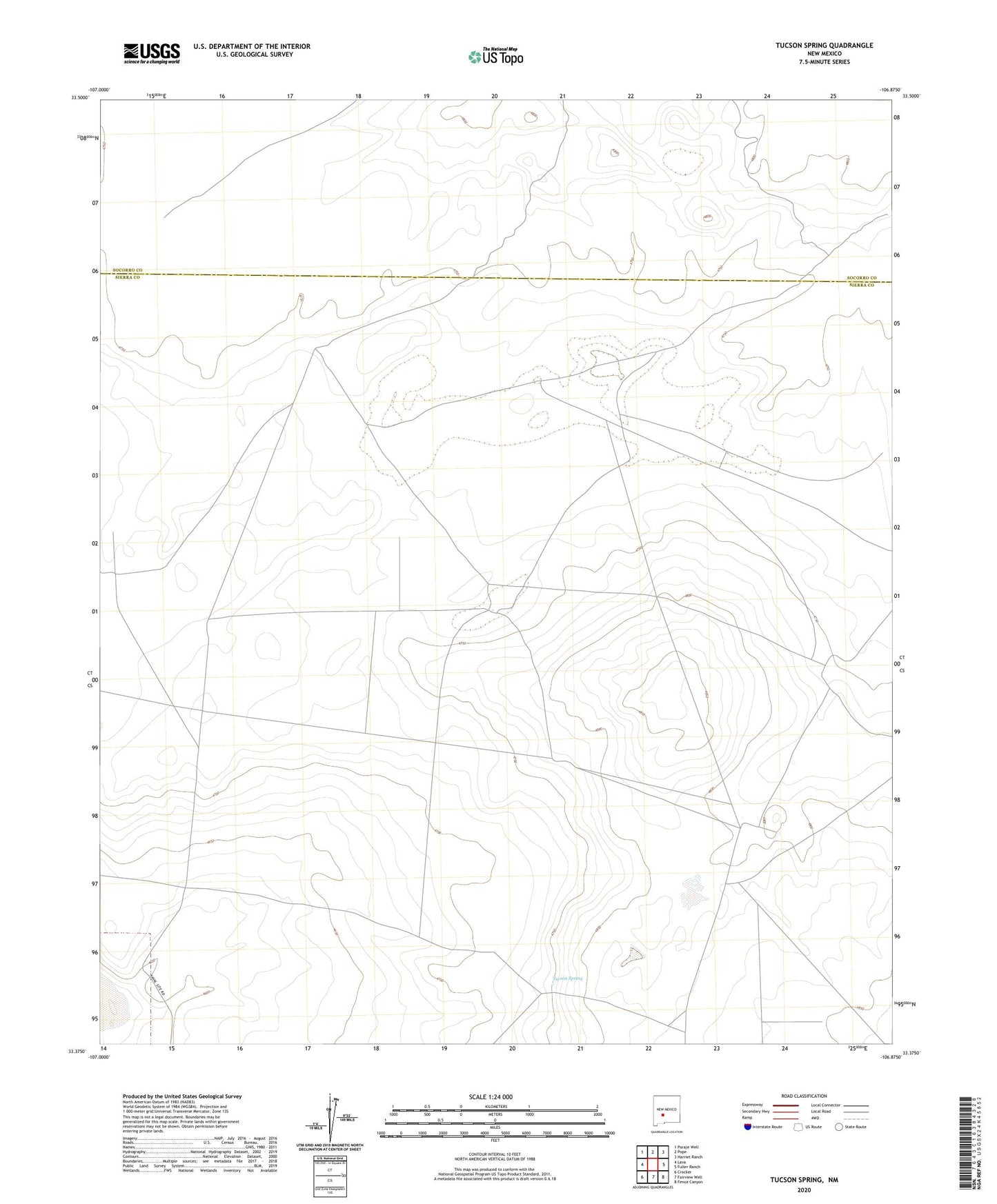
2023 topographic map quadrangle Tucson Spring in the state of New Mexico. Scale: 1:24000. Based on the newly updated USGS 7.5' US Topo map series, this map is in the following counties: Sierra, Socorro. The map contains contour data, water features, and other items you are used to seeing on USGS maps, but also has updated roads and other features. This is the next generation of topographic maps. Printed on high-quality waterproof paper with UV fade-resistant inks.
Quads adjacent to this one:
West: Lava
Northwest: Paraje Well
North: Pope
Northeast: Harriet Ranch
East: Fuller Ranch
Southeast: Fence Canyon
South: Fairview Well
Southwest: Crocker
This map covers the same area as the classic USGS quad with code o33106d8.
Contains the following named places: Casa Grande Ranch, Elephant Butte Station, Malpais Well, McKinney Well, Space Surveillance Station, Sug Well, Tucson Spring, Victoria L C Company Number 1 Well, Victoria Land and Cattle Co Mine