MyTopo
Tule Lake New Mexico US Topo Map
Couldn't load pickup availability
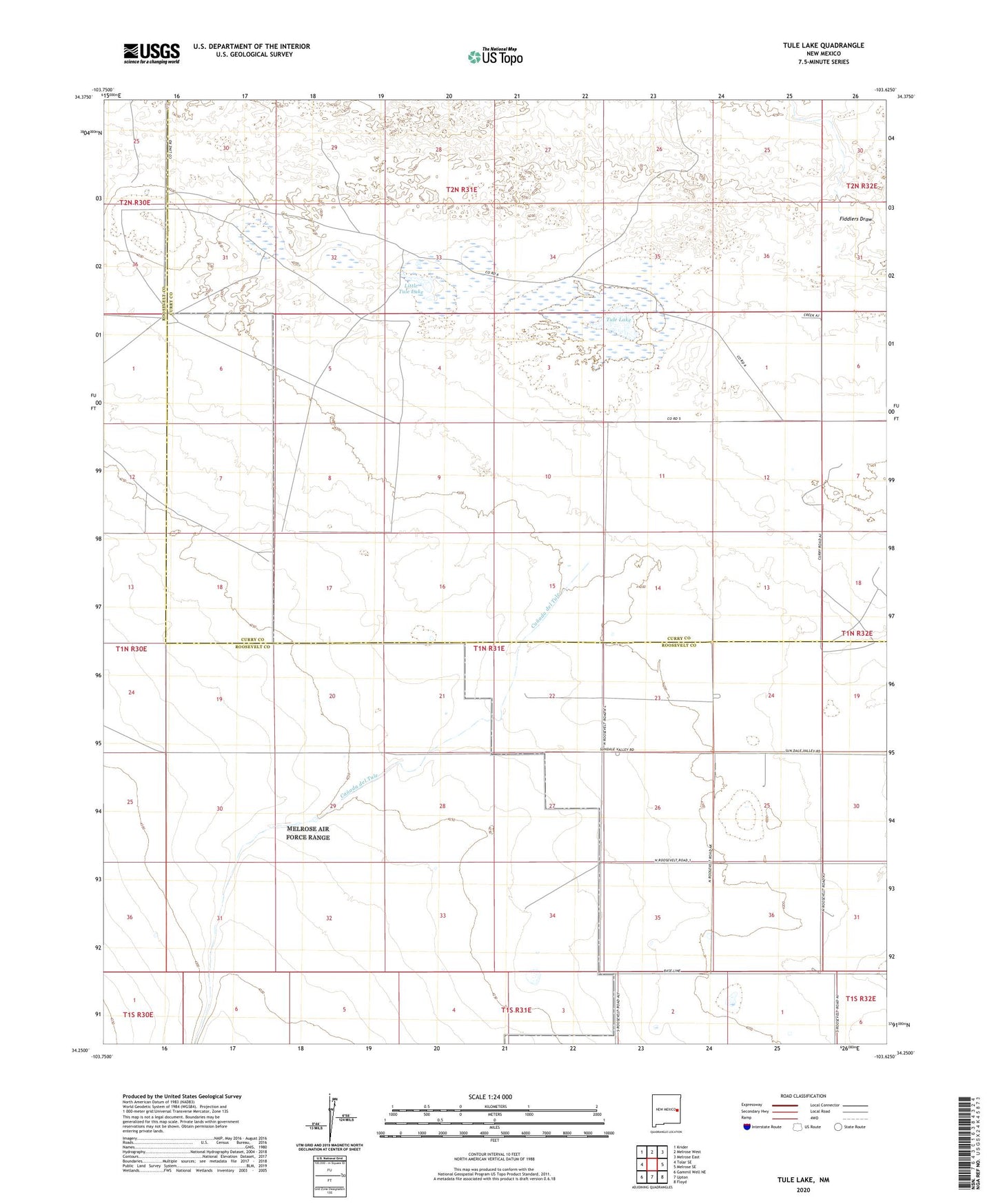
2023 topographic map quadrangle Tule Lake in the state of New Mexico. Scale: 1:24000. Based on the newly updated USGS 7.5' US Topo map series, this map is in the following counties: Roosevelt, Curry. The map contains contour data, water features, and other items you are used to seeing on USGS maps, but also has updated roads and other features. This is the next generation of topographic maps. Printed on high-quality waterproof paper with UV fade-resistant inks.
Quads adjacent to this one:
West: Tolar SE
Northwest: Krider
North: Melrose West
Northeast: Melrose East
East: Melrose SE
Southeast: Floyd
South: Upton
Southwest: Gammil Well NE
This map covers the same area as the classic USGS quad with code o34103c6.
Contains the following named places: 05082 Water Well, 05083 Water Well, 05084 Water Well, 05090 Water Well, 05095 Water Well, 06022 Water Well, 06027 Water Well, 10001 Water Well, 10002 Water Well, 10004 Water Well, 10005 Water Well, 10478 Water Well, 10479 Water Well, 10582 Water Well, 10589 Water Well, 10746 Water Well, 10747 Water Well, 10748 Water Well, 11626 Water Well, 11627 Water Well, 11643 Water Well, 12519 Water Well, 12658 Water Well, 12659 Water Well, 12699 Water Well, 12700 Water Well, 12701 Water Well, Brown Well, Canada del Tule, Cattleguard Well, East Sweet Well, Fiddlers Draw, Field Well, Forty Acre Well, Hart Ranch, Little Blue Well, Little Tule Lake, Little Wallace Well, Meadow Well, Pump Well, South Wallace Well, Steele Ranch, Steele Well, Tule Lake


