MyTopo
Gammil Well NE New Mexico US Topo Map
Couldn't load pickup availability
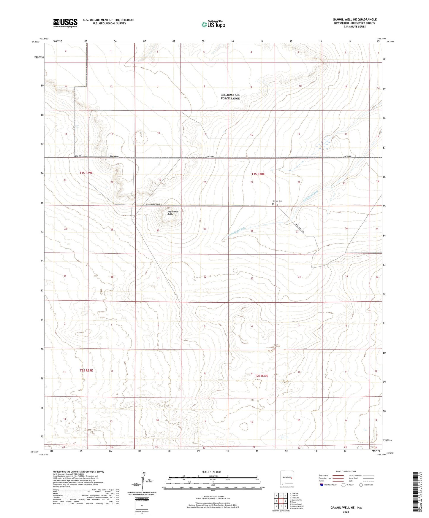
2023 topographic map quadrangle Gammil Well NE in the state of New Mexico. Scale: 1:24000. Based on the newly updated USGS 7.5' US Topo map series, this map is in the following counties: Roosevelt. The map contains contour data, water features, and other items you are used to seeing on USGS maps, but also has updated roads and other features. This is the next generation of topographic maps. Printed on high-quality waterproof paper with UV fade-resistant inks.
Quads adjacent to this one:
West: Gammil Well
Northwest: Tolar SW
North: Tolar SE
Northeast: Tule Lake
East: Upton
Southeast: Lewiston Lake
South: Gammil Well SE
Southwest: Rippee Ranch
This map covers the same area as the classic USGS quad with code o34103b7.
Contains the following named places: 11641 Water Well, 11642 Water Well, 12726 Water Well, Benson, Benson Cemetery, Benson Post Office, Negrohead Butte, Price West Camp, Price-Portales Ranch, The Mesa