MyTopo
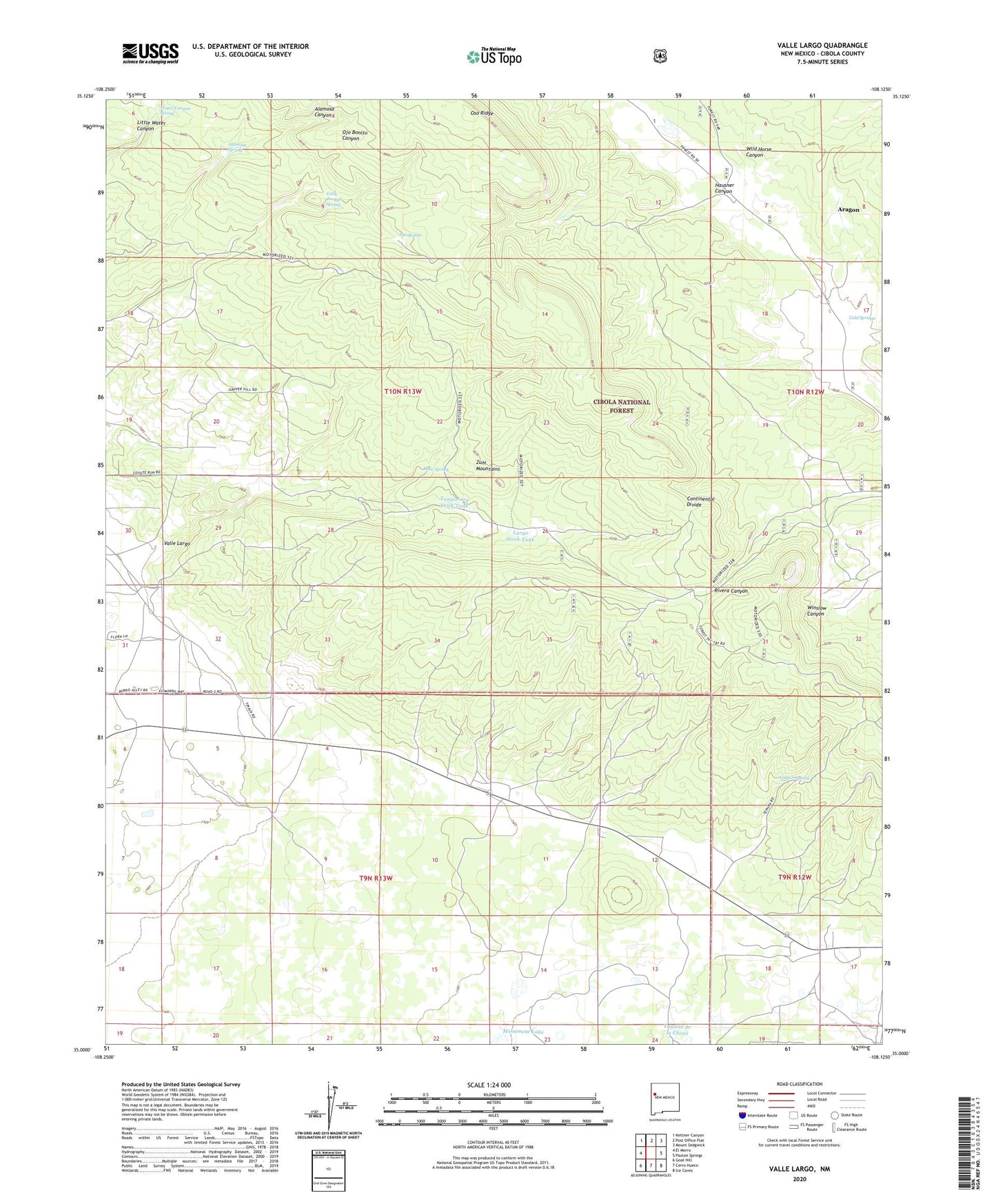
Valle Largo New Mexico US Topo Map
Couldn't load pickup availability
2020 topographic map quadrangle Valle Largo in the state of New Mexico. Scale: 1:24000. Based on the newly updated USGS 7.5' US Topo map series, this map is in the following counties: Cibola. The map contains contour data, water features, and other items you are used to seeing on USGS maps, but also has updated roads and other features. This is the next generation of topographic maps. Printed on high-quality waterproof paper with UV fade-resistant inks.
Quads adjacent to this one:
West: El Morro
Northwest: Kettner Canyon
North: Post Office Flat
Northeast: Mount Sedgwick
East: Paxton Springs
Southeast: Ice Caves
South: Cerro Hueco
Southwest: Goat Hill
Contains the following named places: Alamosa Spring, Aragon, Aragon Ranch, Aragon Spring, Cold Springs, El Malpais National Conservation Area, Hausner Canyon, Laguna de la Choza, Largo Stock Tank, Little Trough Spring, Monument Lake, Mule Spring, Ojo Bonito, Oso Ridge, Temporary Stock Tank, Valle Largo, Valle Largo Cabin, Valle Largo Well, Water Canyon Spring, Wild Horse Canyon