MyTopo
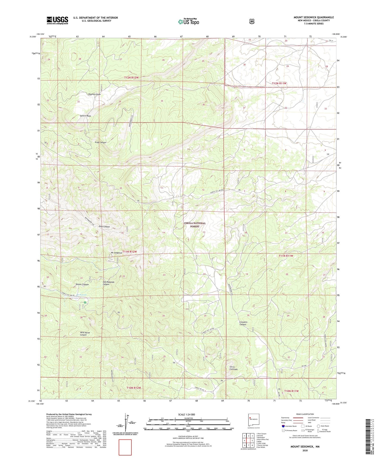
Mount Sedgwick New Mexico US Topo Map
Couldn't load pickup availability
Also explore the Mount Sedgwick Forest Service Topo of this same quad for updated USFS data
2023 topographic map quadrangle Mount Sedgwick in the state of New Mexico. Scale: 1:24000. Based on the newly updated USGS 7.5' US Topo map series, this map is in the following counties: Cibola. The map contains contour data, water features, and other items you are used to seeing on USGS maps, but also has updated roads and other features. This is the next generation of topographic maps. Printed on high-quality waterproof paper with UV fade-resistant inks.
Quads adjacent to this one:
West: Post Office Flat
Northwest: Pine Canyon
North: Prewitt
Northeast: Bluewater
East: Milan
Southeast: San Rafael
South: Paxton Springs
Southwest: Valle Largo
This map covers the same area as the classic USGS quad with code o35108b1.
Contains the following named places: Cerro Colorado, Harding water Well, Mount Sedgwick, Ojo Redondo, Ojo Redondo Camp Picnic Grounds, Salitre Mesa