MyTopo
Wade Canyon New Mexico US Topo Map
Couldn't load pickup availability
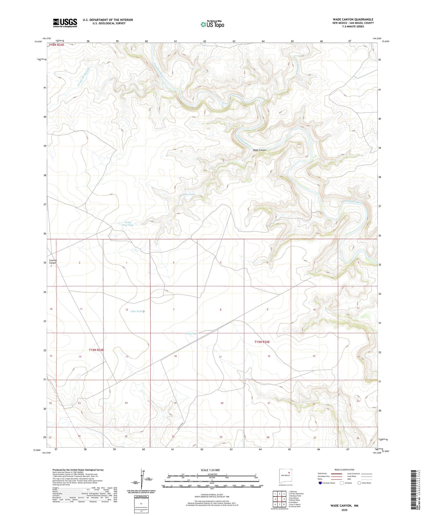
2023 topographic map quadrangle Wade Canyon in the state of New Mexico. Scale: 1:24000. Based on the newly updated USGS 7.5' US Topo map series, this map is in the following counties: San Miguel. The map contains contour data, water features, and other items you are used to seeing on USGS maps, but also has updated roads and other features. This is the next generation of topographic maps. Printed on high-quality waterproof paper with UV fade-resistant inks.
Quads adjacent to this one:
West: San Ramon
Northwest: Sabinoso
North: Arroyo Alamocito
Northeast: Montoya Point
East: Minese Mesa
Southeast: Conchas Dam
South: Four V Ranch
Southwest: Variadero
This map covers the same area as the classic USGS quad with code o35104e3.
Contains the following named places: Arroyo Alamocito, Arroyo del Mesteno, Elise Tank, Lake Tank, Picket Pens Tank, Screw Windmill, Wade Canyon, Whiskey Windmill, White Tank