MyTopo
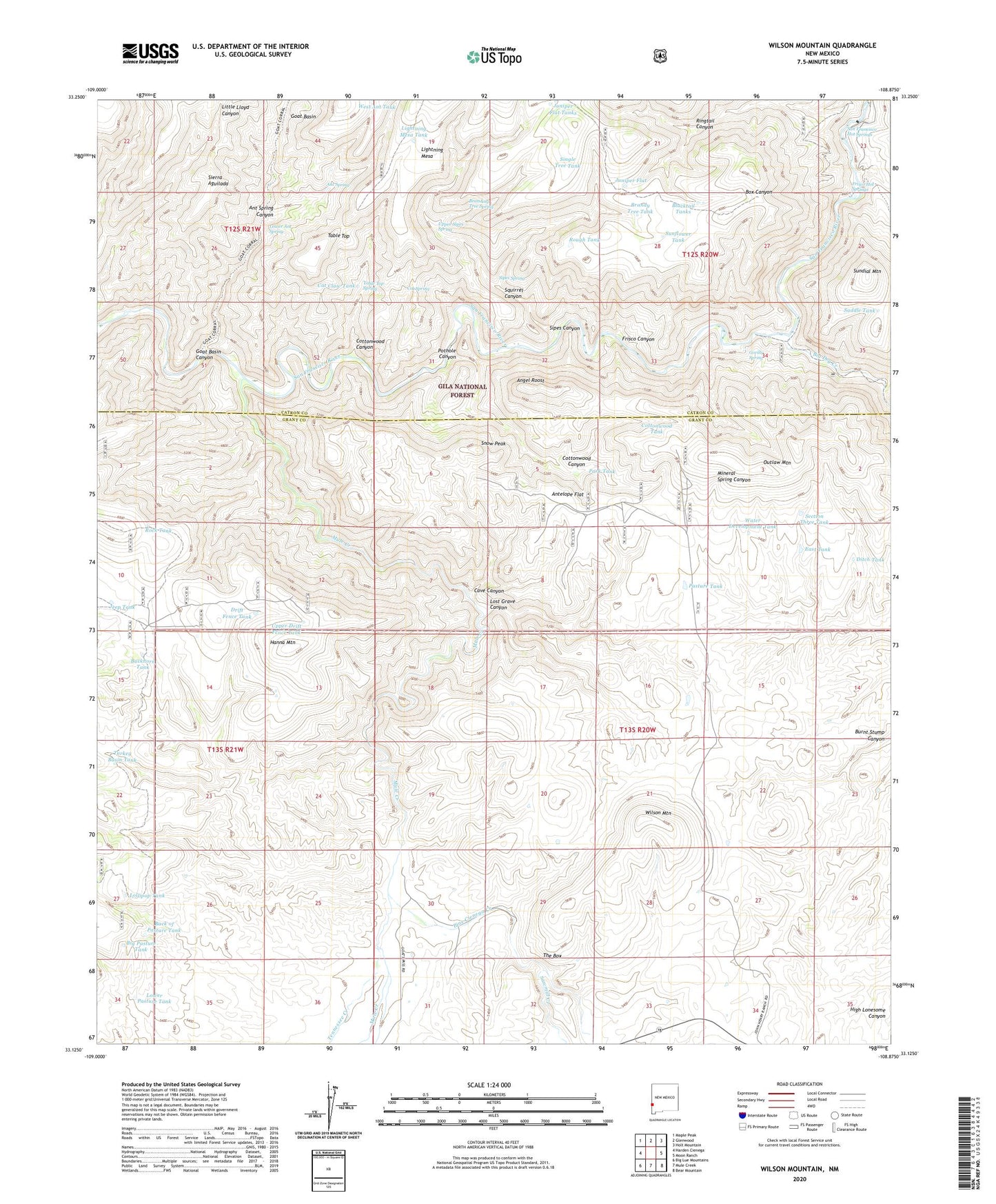
Wilson Mountain New Mexico US Topo Map
Couldn't load pickup availability
Also explore the Wilson Mountain Forest Service Topo of this same quad for updated USFS data
2023 topographic map quadrangle Wilson Mountain in the state of New Mexico. Scale: 1:24000. Based on the newly updated USGS 7.5' US Topo map series, this map is in the following counties: Grant, Catron. The map contains contour data, water features, and other items you are used to seeing on USGS maps, but also has updated roads and other features. This is the next generation of topographic maps. Printed on high-quality waterproof paper with UV fade-resistant inks.
Quads adjacent to this one:
West: Harden Cienega
Northwest: Maple Peak
North: Glenwood
Northeast: Holt Mountain
East: Moon Ranch
Southeast: Bear Mountain
South: Mule Creek
Southwest: Big Lue Mountains
This map covers the same area as the classic USGS quad with code o33108b8.
Contains the following named places: Angel Roost, Ant Spring, Ant Spring Canyon, Antelope Flat, Back of Pasture Tank, Big Dry Creek, Big Pasture Tank, Blacktail Tanks, Box Tank, Branding Tree Spring, Brandy Tree Tank, Buckhorn Tank, Cat Claw Tank, Cat Spring, Cave Canyon, Cottonwood Canyon, Cottonwood Tank, Ditch Tank, Drift Fence Tank, East Tank, Fence Tank, Frisco Hot Springs, Goat Basin Canyon, Gorilla Spring, Hanna Mountain, Henry Ranch, Jeep Tank, Juniper Flat, Juniper Flat Tanks, Lightning Mesa, Lightning Mesa Tank, Lollipop Tank, Lost Grave Canyon, Lower Ant Spring, Lower Pasture Tank, Lower San Francisco Wilderness Study Area, Mule Creek, Outlaw Mountain, Park Tank, Park Tank Number Two, Pasture Tank, Pine Cienega Creek, Pothole Canyon, Potholes Country, Ringtail Canyon, Rock Tank, Rough Tank, Saddle Tank, San Francisco Hot Springs, Sawmill Creek, Section Three Tank, Single Tree Tank, Sipes Canyon, Sipes Spring, Snow Peak, Squirrel Canyon, Sundial Mountain, Sunflower Tank, Table Top, Table Top Spring, Tennessee Creek, The Box, Turkey Basin Tank, Upper Drift Fence Tank, Upper Sipes Spring, Water Development Tank, West Ant Tank, West Masonry Tank, Wilson Mountain, Zumwalt Ranch


