MyTopo
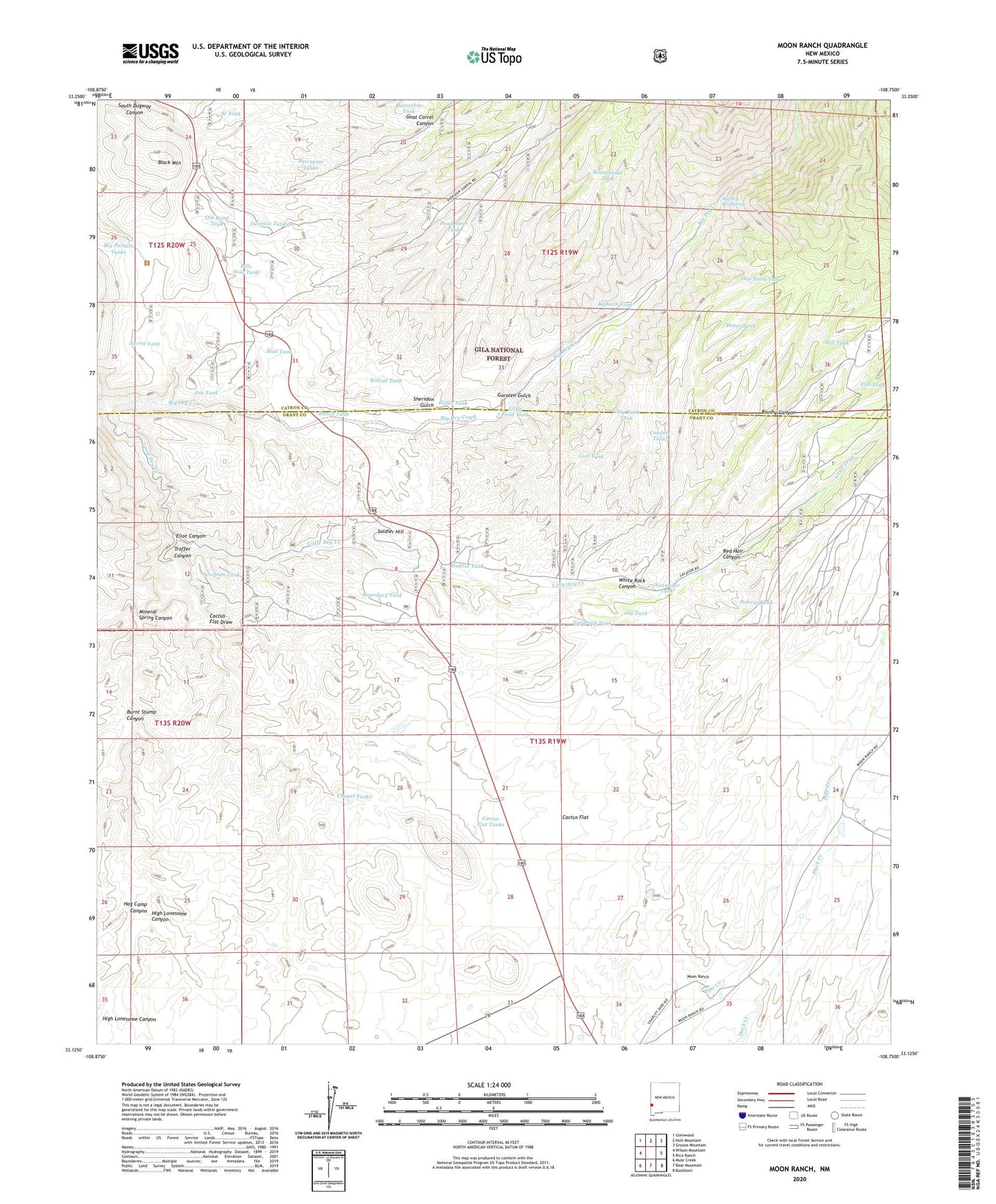
Moon Ranch New Mexico US Topo Map
Couldn't load pickup availability
Also explore the Moon Ranch Forest Service Topo of this same quad for updated USFS data
2023 topographic map quadrangle Moon Ranch in the state of New Mexico. Scale: 1:24000. Based on the newly updated USGS 7.5' US Topo map series, this map is in the following counties: Grant, Catron. The map contains contour data, water features, and other items you are used to seeing on USGS maps, but also has updated roads and other features. This is the next generation of topographic maps. Printed on high-quality waterproof paper with UV fade-resistant inks.
Quads adjacent to this one:
West: Wilson Mountain
Northwest: Glenwood
North: Holt Mountain
Northeast: Grouse Mountain
East: Rice Ranch
Southeast: Buckhorn
South: Bear Mountain
Southwest: Mule Creek
This map covers the same area as the classic USGS quad with code o33108b7.
Contains the following named places: Alexander Tank, Big Dry Box Spring, Big Pasture Tanks, Bighorn Tank, Bills Hole Tank, Black Mountain, Bobcat Tank, Boundary Tank, Brushy Canyon, Burnt Stump Canyon, Cactus Flat, Cactus Flat Draw, Cactus Flat Tanks, Cedar Breaks Well, Chapel Tanks, Clay Bank Tank, Condon Tank, Cub Tank, Dead Steer Tank, Dozer Tank, Eliot Canyon, Estes Well, Garolen Gulch, Goat Corral Canyon, Haynie Tank, HDQ Water Well, High Lonesome Canyon, Hill Tank, Hines Tank, Hog Camp Canyon, Horseshoe Tank, Jackson, Jim Tank, Jug Tank, Leopold Vista, Little Dry Creek, Little Field Tank, Lost Tank, Meanders Stage Station, Mineral Spring Canyon, Moon Ranch, Mud Tank, Norris Tank, Old Road Tank, One Horn Tank, Polecat Tank, Porcupine Tanks, Ranch Tank, Rattlesnake Tank, Red Hair Canyon, Sandrock Tank, Scorpion Tank, Sheridan Gulch, SI Ranch, SI Tank, Soldier Hill, Troffer Canyon, Twomile Tanks, White Rock Canyon