MyTopo
Wrye Peak New Mexico US Topo Map
Couldn't load pickup availability
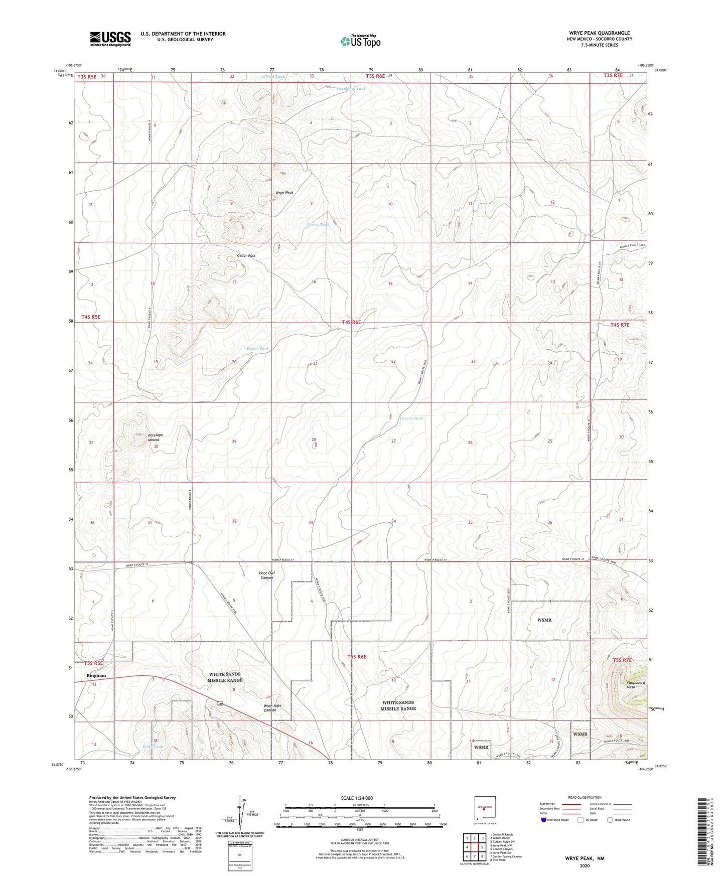
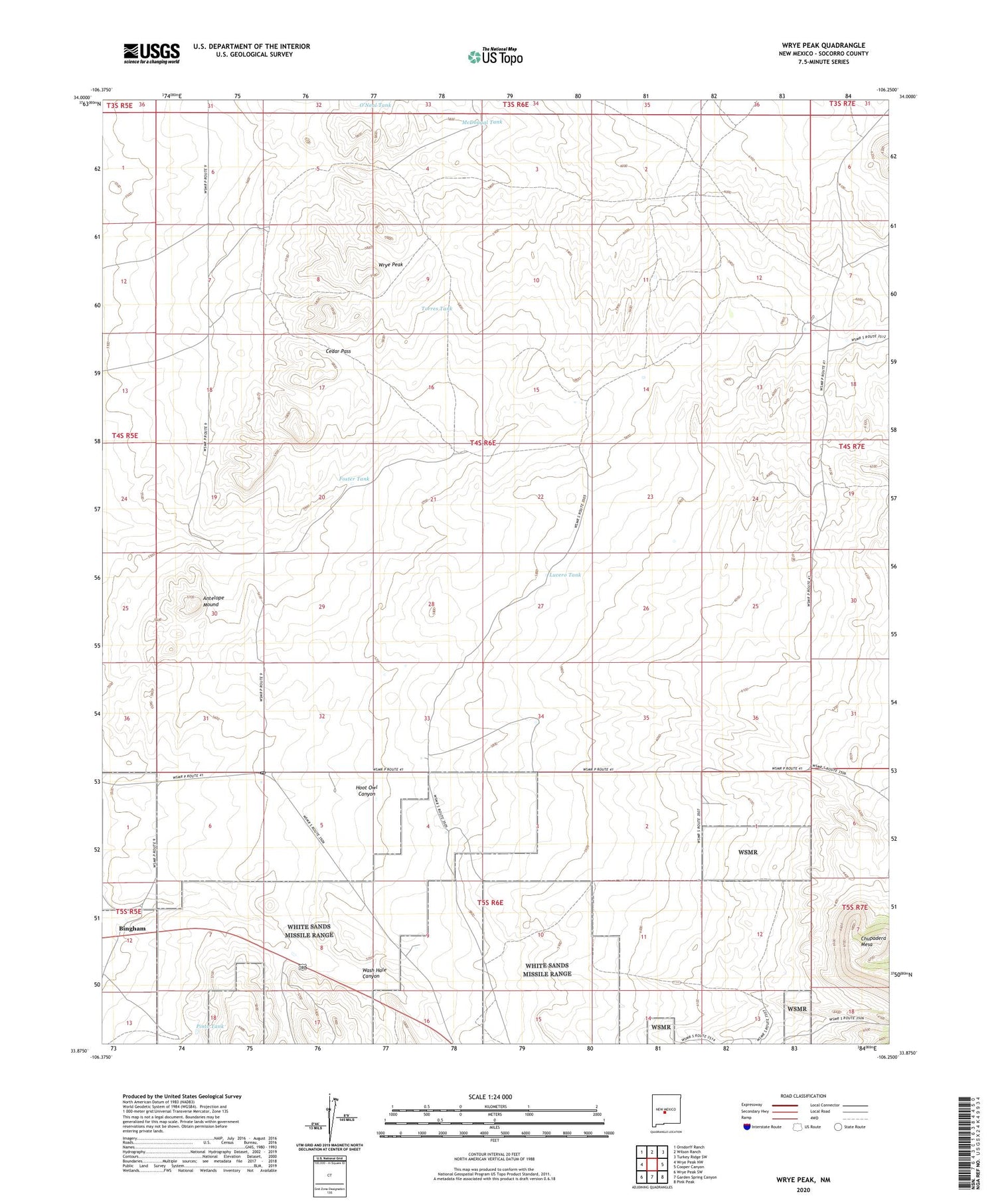
2023 topographic map quadrangle Wrye Peak in the state of New Mexico. Scale: 1:24000. Based on the newly updated USGS 7.5' US Topo map series, this map is in the following counties: Socorro. The map contains contour data, water features, and other items you are used to seeing on USGS maps, but also has updated roads and other features. This is the next generation of topographic maps. Printed on high-quality waterproof paper with UV fade-resistant inks.
Quads adjacent to this one:
West: Wrye Peak NW
Northwest: Orndorff Ranch
North: Wilson Ranch
Northeast: Turkey Ridge SW
East: Cooper Canyon
Southeast: Pink Peak
South: Garden Spring Canyon
Southwest: Wrye Peak SW
This map covers the same area as the classic USGS quad with code o33106h3.
Contains the following named places: Adobe Well, Antelope Mound, B Lucero Ranch, Bence Tank, Bingham, Bingham Post Office, Bingham Weather Station, Bingham Well, Cedar Pass, Claunch Division, Dean Ranch, Dean Well, Foster Tank, G Lucero Well, Hale Well, Hinkle Ranch, Jenkins Well, Lucero Tank, Lucero Well, McDougal Tank, Pearson Ranch, Pino Well, Pinto Tank, Romero Ranch, Rysinger Well, South Well, Torres Tank, Torres Well, Wrye Peak, Wrye Ranch