MyTopo
York Ranch New Mexico US Topo Map
Couldn't load pickup availability
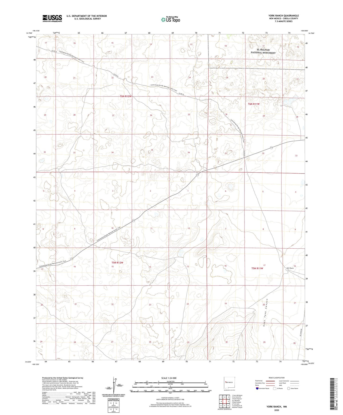
2023 topographic map quadrangle York Ranch in the state of New Mexico. Scale: 1:24000. Based on the newly updated USGS 7.5' US Topo map series, this map is in the following counties: Cibola. The map contains contour data, water features, and other items you are used to seeing on USGS maps, but also has updated roads and other features. This is the next generation of topographic maps. Printed on high-quality waterproof paper with UV fade-resistant inks.
Quads adjacent to this one:
West: La Rendija
Northwest: Cerro Brillante
North: Ice Caves SE
Northeast: North Pasture
East: Sand Canyon
Southeast: Bonine Canyon
South: York Ranch SE
Southwest: Trail Lake
This map covers the same area as the classic USGS quad with code o34108f1.
Contains the following named places: Four Corners Windmill, Goat Tank Canyon, King Ranch Airport, Line Water Well, Rock Tank Water Well, Rock Tank Windmill, Sand Windmill, Sand WNMLL Warter Well, South Camp Water Well, West Water Well, York Headquaters, York Ranch