MyTopo
Trail Lake New Mexico US Topo Map
Couldn't load pickup availability
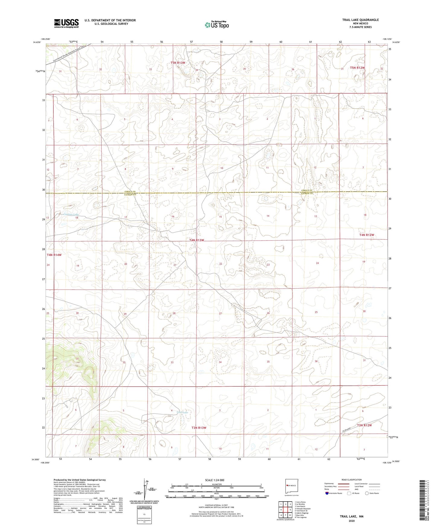
2023 topographic map quadrangle Trail Lake in the state of New Mexico. Scale: 1:24000. Based on the newly updated USGS 7.5' US Topo map series, this map is in the following counties: Catron, Cibola. The map contains contour data, water features, and other items you are used to seeing on USGS maps, but also has updated roads and other features. This is the next generation of topographic maps. Printed on high-quality waterproof paper with UV fade-resistant inks.
Quads adjacent to this one:
West: Veteado Mountain
Northwest: Cerro Pomo
North: La Rendija
Northeast: York Ranch
East: York Ranch SE
Southeast: Tres Lagunas
South: Blue Hills
Southwest: Adams Diggings
This map covers the same area as the classic USGS quad with code o34108e2.
Contains the following named places: Canteen Lake, Katy Bess Well, Ramon Well, Trail Lake, Tusas Corral, Viuda Well