MyTopo
Cameron New York US Topo Map
Couldn't load pickup availability
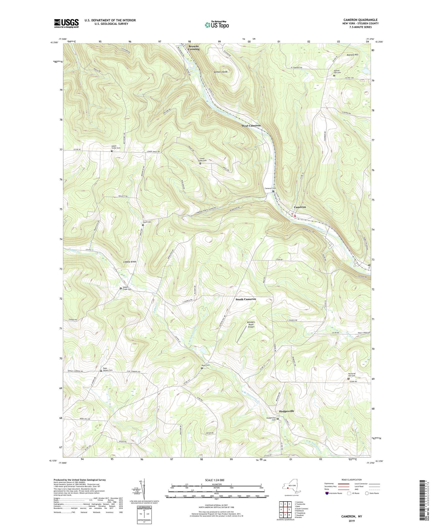
2019 topographic map quadrangle Cameron in the state of New York. Scale: 1:24000. Based on the newly updated USGS 7.5' US Topo map series, this map is in the following counties: Steuben. The map contains contour data, water features, and other items you are used to seeing on USGS maps, but also has updated roads and other features. This is the next generation of topographic maps. Printed on high-quality waterproof paper with UV fade-resistant inks.
Quads adjacent to this one:
West: South Canisteo
Northwest: Canisteo
North: Towlesville
Northeast: Bath
East: Rathbone
Southeast: Borden
South: Woodhull
Southwest: Troupsburg
Contains the following named places: Allen School, Averell Hill, Averell Hill Cemetery, Boyd Cemetery, Boyd Corners Baptist Church, Boyd School, Boyds Corners, Browns Crossing, Cameron, Cameron Cemetery, Cameron Mills Post Office, Cameron Volunteer Fire Department, Clark Cemetery, Cobble Knob, Eight Square Cemetery, Eight Square School, French School, Gerdner School, Gothic School, Hedgesville, Hedgesville Cemetery, Kinners Knob, Lower Swale Cemetery, Lower Swale School, North Jasper School, Northrup Hill Cemetery, Northrup Street School, Randall's Roost Airport, Roosa School, South Cameron, South Hill School, Talbot Creek, Talbot Creek Cemetery, Town of Cameron, Upper Swale Cemetery, Upper Swale School, Valley Elementary School, West Cameron, ZIP Codes: 14819, 14855