MyTopo
Towlesville New York US Topo Map
Couldn't load pickup availability
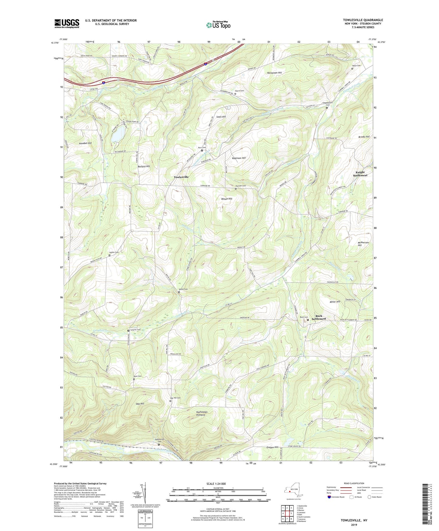
2023 topographic map quadrangle Towlesville in the state of New York. Scale: 1:24000. Based on the newly updated USGS 7.5' US Topo map series, this map is in the following counties: Steuben. The map contains contour data, water features, and other items you are used to seeing on USGS maps, but also has updated roads and other features. This is the next generation of topographic maps. Printed on high-quality waterproof paper with UV fade-resistant inks.
Quads adjacent to this one:
West: Canisteo
Northwest: Haskinville
North: Avoca
Northeast: Rheims
East: Bath
Southeast: Rathbone
South: Cameron
Southwest: South Canisteo
This map covers the same area as the classic USGS quad with code o42077c4.
Contains the following named places: Annabel Hill, Bath Landfill, Brooks Hill, Buck Cemetery, Buck Settlement, Bullard Hill, Chamberlain Brook, Chamberlain Cemetery, Dickinsons Airfield, Dublin Cemetery, Durnian Cemetery, Gaskin's Hilltop Airport, Hadleyville Cemetery, Hathaways Pinnacle, Heineman Hill, Knight Settlement, Lake Demons, Maxwell Creek, McPherson Hill, Miller Hill, Mud Hollow, Norris Cemetery, Oak Hill, Oak Hill Cemetery, Oak Hill Church, Oregon Church, Oregon Hill, Rainbow Bridge Creek, Rice Cemetery, Rice Glen, Robinson Hill, Ross Cemetery, Scherer Cemetery, School Number 3, Sinclair Creek, Snell Hill, Steuben County, The Church of Jesus Christ of Latter Day Saints, Thomas Corners, Towlesville, Victory Baptist Academy, WCIK-FM (Bath), White Cemetery, Willis Cemetery, Wilson Hill, Wright School


