MyTopo
Friendship New York US Topo Map
Couldn't load pickup availability
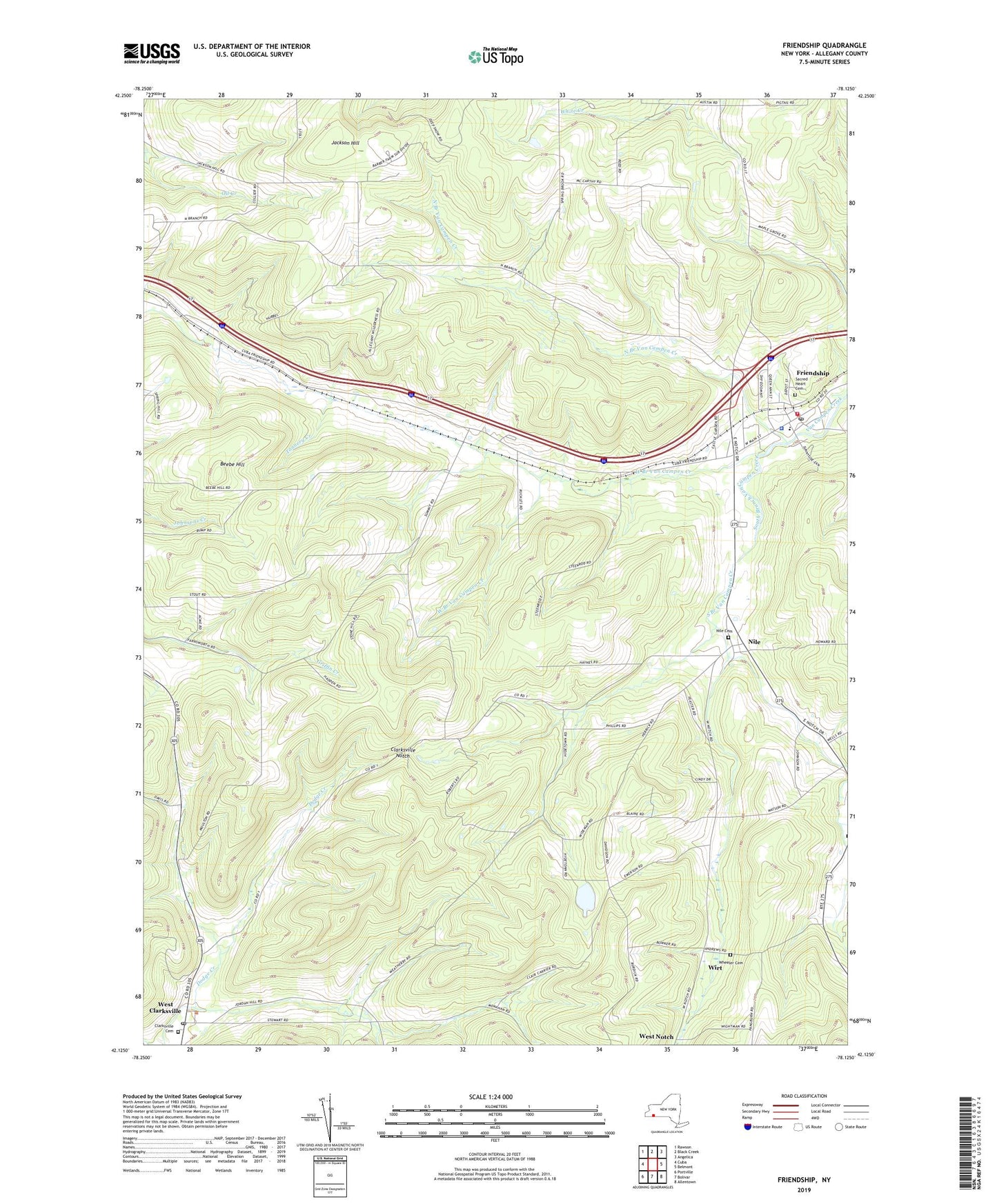
2019 topographic map quadrangle Friendship in the state of New York. Scale: 1:24000. Based on the newly updated USGS 7.5' US Topo map series, this map is in the following counties: Allegany. The map contains contour data, water features, and other items you are used to seeing on USGS maps, but also has updated roads and other features. This is the next generation of topographic maps. Printed on high-quality waterproof paper with UV fade-resistant inks.
Quads adjacent to this one:
West: Cuba
Northwest: Rawson
North: Black Creek
Northeast: Angelica
East: Belmont
Southeast: Allentown
South: Bolivar
Southwest: Portville
Contains the following named places: Beebe Hill, Clarksville Ambulance Service, Clarksville Cemetery, Clarksville Notch, Dew Airpark, First United Methodist Church, Friendship, Friendship Ambulance Squad, Friendship Bible Baptist Church, Friendship Census Designated Place, Friendship Central School, Friendship Church of God, Friendship Fire Department, Friendship Free Library, Friendship Post Office, Jackson Hill, Moulton School, Nile, Nile Cemetery, Nile Community Church, North Branch Van Campen Creek, Pink School, Rocking R Farm, Sacred Heart Cemetery, Sawyer Trailer Court, School Number 3, School Number 4, School Number 5, Smalley School, South Branch Van Campen Creek, Summit, Town of Clarksville, Town of Cuba, Town of Friendship, Town of Wirt, United Church of Friendship, Val Dale Farms, West Branch Van Campen Creek, West Clarksville, West Clarksville Post Office, West Notch, Wheeler Cemetery, Wirt, Wirt Center School, ZIP Code: 14739