MyTopo
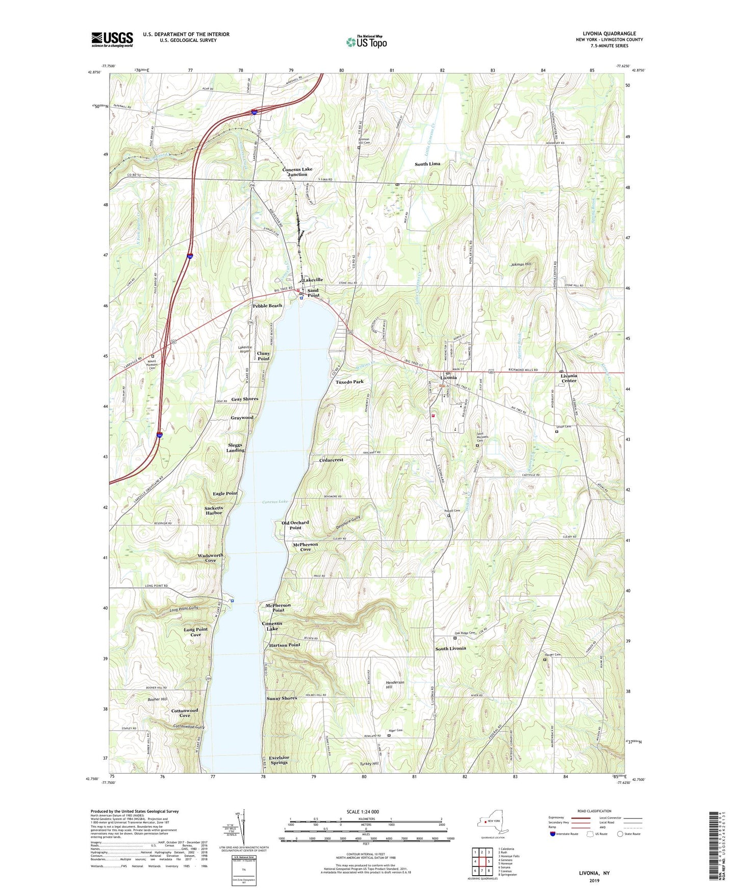
Livonia New York US Topo Map
Couldn't load pickup availability
2023 topographic map quadrangle Livonia in the state of New York. Scale: 1:24000. Based on the newly updated USGS 7.5' US Topo map series, this map is in the following counties: Livingston. The map contains contour data, water features, and other items you are used to seeing on USGS maps, but also has updated roads and other features. This is the next generation of topographic maps. Printed on high-quality waterproof paper with UV fade-resistant inks.
Quads adjacent to this one:
West: Geneseo
Northwest: Caledonia
North: Rush
Northeast: Honeoye Falls
East: Honeoye
Southeast: Springwater
South: Conesus
Southwest: Sonyea
This map covers the same area as the classic USGS quad with code o42077g6.
Contains the following named places: Alger Cemetery, Alpine Manor Home for Adults, Atwater Memorial Church, Booher Hill, Bronson Hill Cemetery, Cedarcrest, Cicero Farm, Cluny Point, Conesus Drive-In, Conesus Lake, Conesus Lake Census Designated Place, Conesus Lake County Sewer District Wastewater Treatment Plant, Conesus Lake Junction, Conesus Lake Nursing Home, Cottonwood Cove, Cottonwood Gully, Cottonwood Point, Culver Manor Mobile Home Park, Denshore Gully, Eagle Point, Excelsior Springs, Gray Shores, Graywood, Harder Cemetery, Harmony Hill Farm, Hartson Point, Henderson Hill, Honeyhill Organic Farm, Jakman Hill, Lakeville, Lakeville Airport, Lakeville Census Designated Place, Lakeville Estates Mobile Home Park, Lakeville Post Office, Lakeville Volunteer Fire Department, Livonia, Livonia Center, Livonia Center Census Designated Place, Livonia Center Post Office, Livonia Center Presbyterian Church, Livonia Community Church, Livonia Fire Department, Livonia Intermediate School, Livonia Post Office, Livonia Primary School, Livonia Public Library, Livonia Senior High School, Livonia Station, Livonia Town Hall, Livonia United Methodist Church, Long Point Cove, Long Point Gully, McPherson Cove, McPherson Point, Mount Pleasant Cemetery, North Fork Jaycox Creek, North Gully, Oak Ridge Cemetery, Old Hickory Golf Club, Old Orchard Cove, Old Orchard Point, Pebble Beach, Powell Cemetery, Sacketts Harbor, Saint Josephs Roman Catholic Church, Saint Judes Chapel, Saint Margarets Chapel, Saint Matthew Catholic Church, Saint Michaels Cemetery, Saint Michael's Roman Catholic Church, Saint Timothy Lutheran Church, Sand Point, Sand Point Gully, School Number 2, School Number 5, School Number 7, Shooting Star Farm, Sleggs Landing, South Gully, South Lima, South Lima Census Designated Place, South Lima Post Office, South Livonia, South Livonia United Church of Christ, Spring Hill Farm, Sunny Shores, Town of Livonia, Tuxedo Park, Union Cemetery, Village of Livonia, Wadsworth Cove, Wilkins Creek, Willow Cove Mobile Home Park, WYSL-AM (Avon), ZIP Codes: 14480, 14487


