MyTopo
Marcellus New York US Topo Map
Couldn't load pickup availability
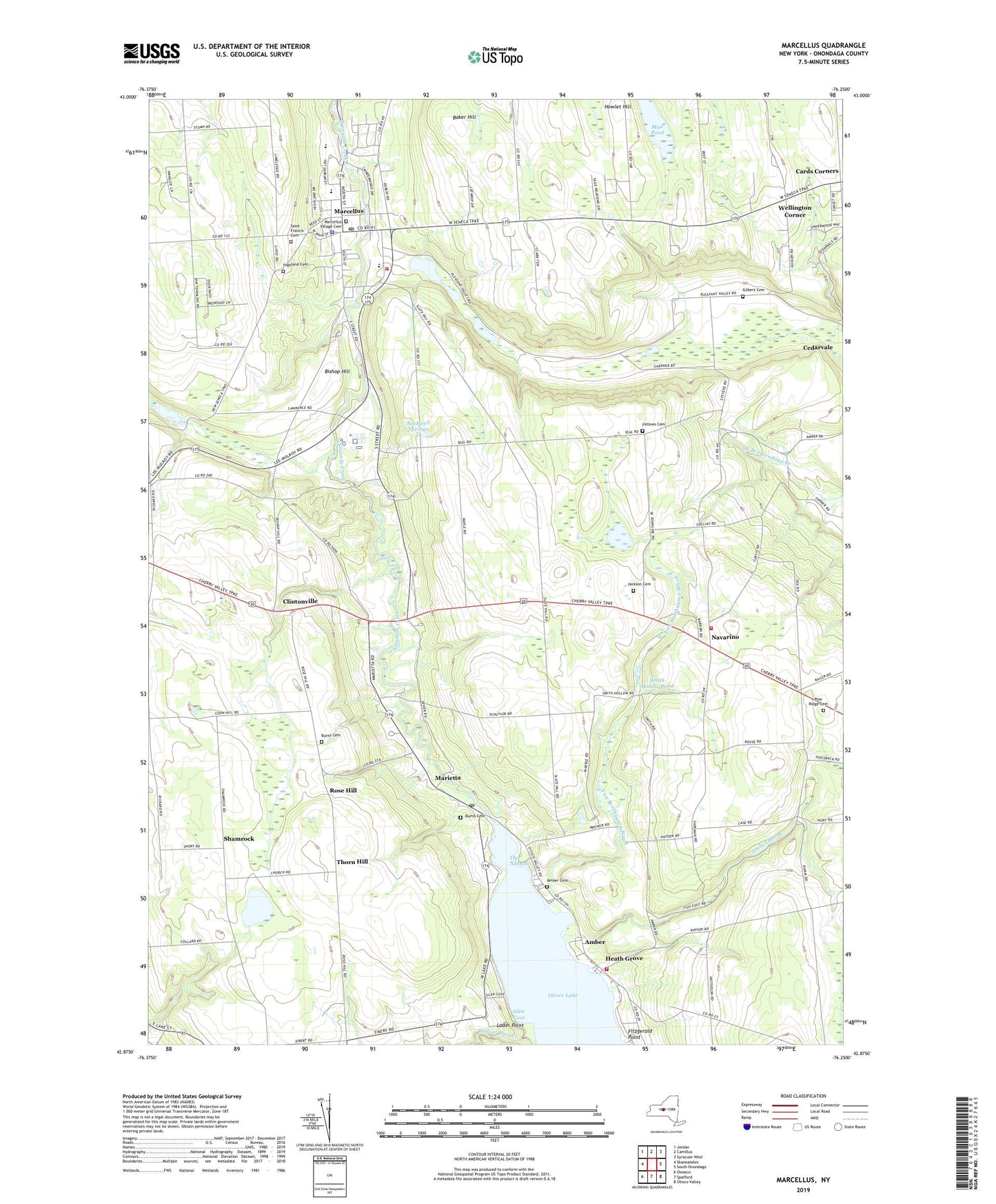
2023 topographic map quadrangle Marcellus in the state of New York. Scale: 1:24000. Based on the newly updated USGS 7.5' US Topo map series, this map is in the following counties: Onondaga. The map contains contour data, water features, and other items you are used to seeing on USGS maps, but also has updated roads and other features. This is the next generation of topographic maps. Printed on high-quality waterproof paper with UV fade-resistant inks.
Quads adjacent to this one:
West: Skaneateles
Northwest: Jordan
North: Camillus
Northeast: Syracuse West
East: South Onondaga
Southeast: Otisco Valley
South: Spafford
Southwest: Owasco
This map covers the same area as the classic USGS quad with code o42076h3.
Contains the following named places: Amber, Amber Ambulance, Amber Brook, Amber Cemetery, Amber Fire Department, Baker Hill, Bishop Hill, Burns Cemetery, Burtis Cemetery, C S Driver Middle School, Cards Corners, Clintonville, Fellows Cemetery, First Presbyterian Church, Fitzgerald Point, Five Corners, Gilbert Cemetery, Glen Cove, Heath Grove, Highland Cemetery, Howlet Hill, Jackson Cemetery, K C Heffernan Elementary School, Lader Point, Links at Sunset Ridge, Marcellus, Marcellus Ambulance Voluntary Emergency Services, Marcellus Fire Department, Marcellus Free Library, Marcellus High School, Marcellus Post Office, Marcellus Quarry, Marcellus United Methodist Church, Marcellus Village Cemetery, Marietta, Marietta Post Office, Mud Pond, Navarino, Navarino Fire Department, Navarino Orchard, Parsons Hall, Pine Ridge Cemetery, Pumpkin Hollow, Rockwell Springs, Rose Hill, Saint Francis Cemetery, Saint Francis Xavier's Parish Hall, Saint Francis Xavier's Roman Catholic Church, Saint John's Episcopal Church, School Number 10, School Number 4, School Number 6, School Number 8, Shamrock, Smith Hollow, Smith Hollow Pond, The Narrows, Thorn Hill, Town of Marcellus, Tyler Hollow, Van Benthuysen Brook, Village of Marcellus, Wellington Corner, Willow Brook, Willow Dale, ZIP Codes: 13108, 13110, 13152


