MyTopo
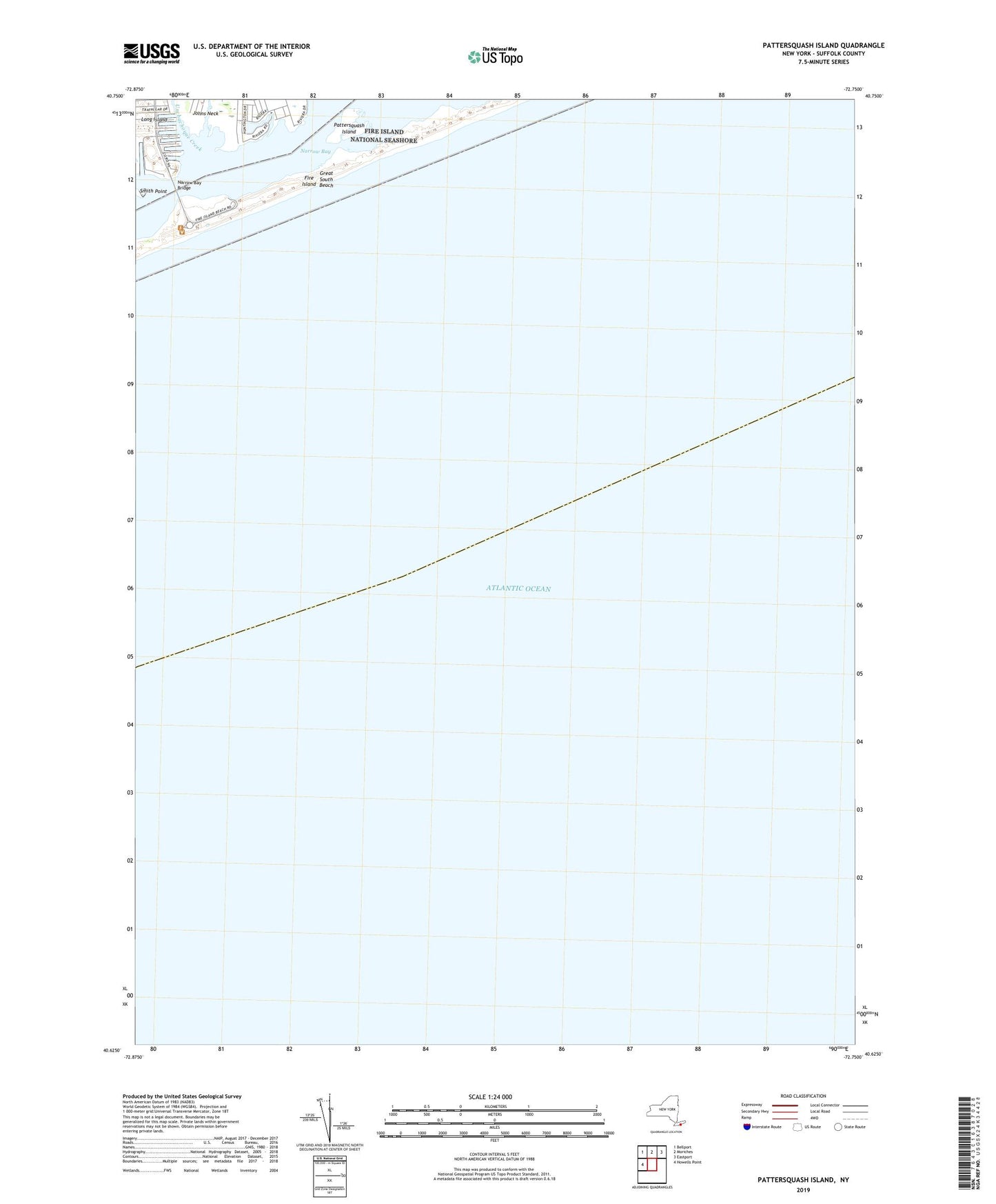
Pattersquash Island New York US Topo Map
Couldn't load pickup availability
2023 topographic map quadrangle Pattersquash Island in the state of New York. Scale: 1:24000. Based on the newly updated USGS 7.5' US Topo map series, this map is in the following counties: Suffolk. The map contains contour data, water features, and other items you are used to seeing on USGS maps, but also has updated roads and other features. This is the next generation of topographic maps. Printed on high-quality waterproof paper with UV fade-resistant inks.
Quads adjacent to this one:
West: Howells Point
Northwest: Bellport
North: Moriches
Northeast: Eastport
This map covers the same area as the classic USGS quad with code o40072f7.
Contains the following named places: Forge River Life Saving Station, Johns Neck, Johns Neck Creek, Narrow Bay Bridge, Pattersquash Island, Sheepen Creek, Smith Point, Smith Point Life Saving Station, Unchachoque Creek