MyTopo
Howells Point New York US Topo Map
Couldn't load pickup availability
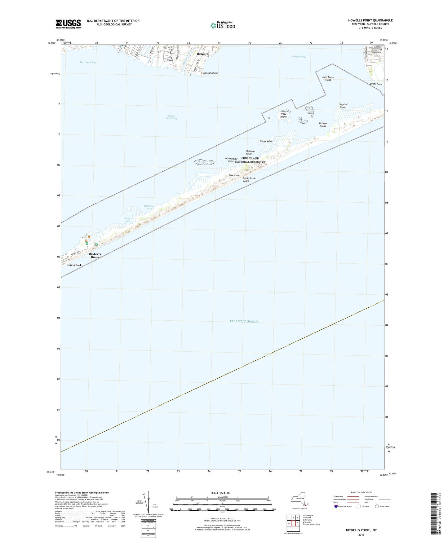
2023 topographic map quadrangle Howells Point in the state of New York. Scale: 1:24000. Based on the newly updated USGS 7.5' US Topo map series, this map is in the following counties: Suffolk. The map contains contour data, water features, and other items you are used to seeing on USGS maps, but also has updated roads and other features. This is the next generation of topographic maps. Printed on high-quality waterproof paper with UV fade-resistant inks.
Quads adjacent to this one:
West: Sayville
Northwest: Patchogue
North: Bellport
Northeast: Moriches
East: Pattersquash Island
This map covers the same area as the classic USGS quad with code o40072f8.
Contains the following named places: Abets Creek, Bayberry Dunes, Bellport Life Saving Station, Goose Point, Hedges Creek, Hospital Island, Howells Creek, Howells Point, John Boyle Island, Long Cove, Molasses Point, Mud Creek, Otis Pike Fire Island High Dune Wilderness, Pelican Island, Ridge Island, Robinson Cove, Swan River, Whalehouse Point