MyTopo
Pultneyville New York US Topo Map
Couldn't load pickup availability
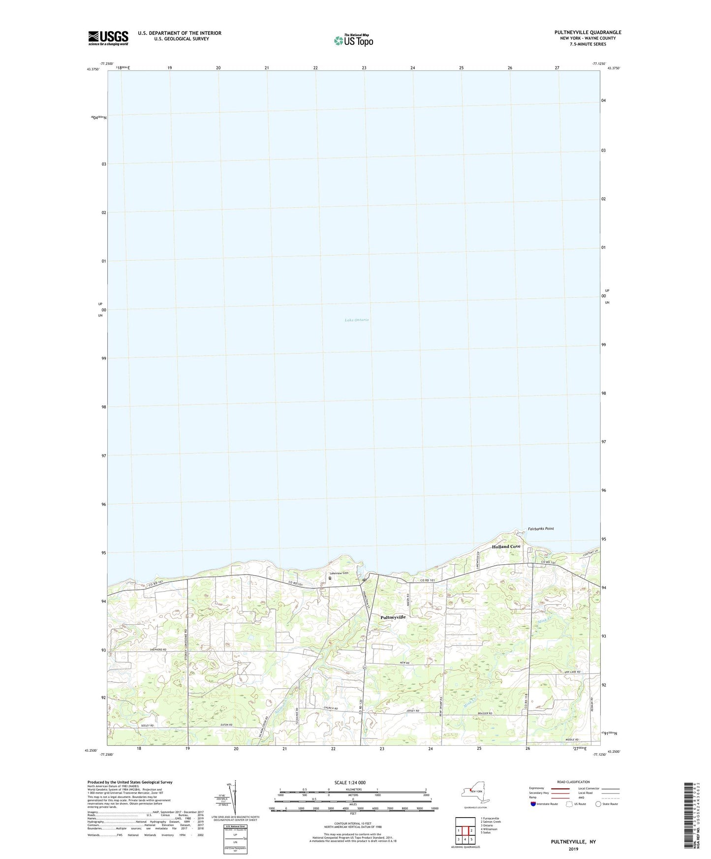
2023 topographic map quadrangle Pultneyville in the state of New York. Scale: 1:24000. Based on the newly updated USGS 7.5' US Topo map series, this map is in the following counties: Wayne. The map contains contour data, water features, and other items you are used to seeing on USGS maps, but also has updated roads and other features. This is the next generation of topographic maps. Printed on high-quality waterproof paper with UV fade-resistant inks.
Quads adjacent to this one:
West: Furnaceville
East: Salmon Creek
Southeast: Sodus
South: Williamson
Southwest: Ontario
This map covers the same area as the classic USGS quad with code o43077c2.
Contains the following named places: Fairbanks Point, Holland Cove, Hughes Marina, Lagoner Farms, Lakeview Cemetery, Mink Creek, Noto Fruit Farm, Orbakers Fruit Farm, Pultneyville, Pultneyville Census Designated Place, Pultneyville Post Office, Pultneyville United Methodist Church, Pultneyville Yacht Club, Salmon Creek, School Number 3, WNNR-FM (Sodus)