MyTopo
Salmon Creek New York US Topo Map
Couldn't load pickup availability
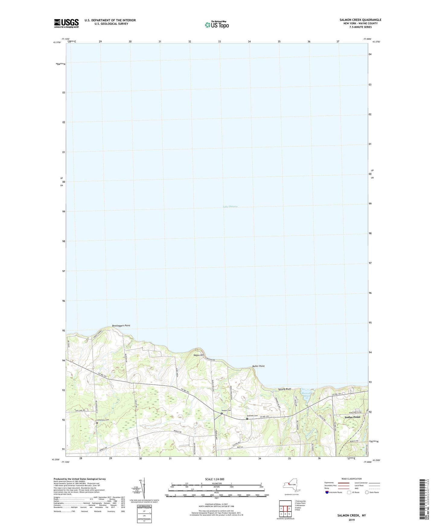
2023 topographic map quadrangle Salmon Creek in the state of New York. Scale: 1:24000. Based on the newly updated USGS 7.5' US Topo map series, this map is in the following counties: Wayne. The map contains contour data, water features, and other items you are used to seeing on USGS maps, but also has updated roads and other features. This is the next generation of topographic maps. Printed on high-quality waterproof paper with UV fade-resistant inks.
Quads adjacent to this one:
West: Pultneyville
East: Sodus Point
Southeast: Rose
South: Sodus
Southwest: Williamson
This map covers the same area as the classic USGS quad with code o43077c1.
Contains the following named places: Boller Point, Bootleggers Point, Bushnell Cemetery, Camp Beechwood, Centenary Cemetery, Idlewood On The Lake, Maxwell Bay, Negro Hill, Salmon Creek, School Number 14, School Number 2, School Number 3, School Number 6, Sill Creek, South Shore Recreational Vehicle Park, Sprong Bluff, Swales Cemetery, Wayne County