MyTopo
Quogue New York US Topo Map
Couldn't load pickup availability
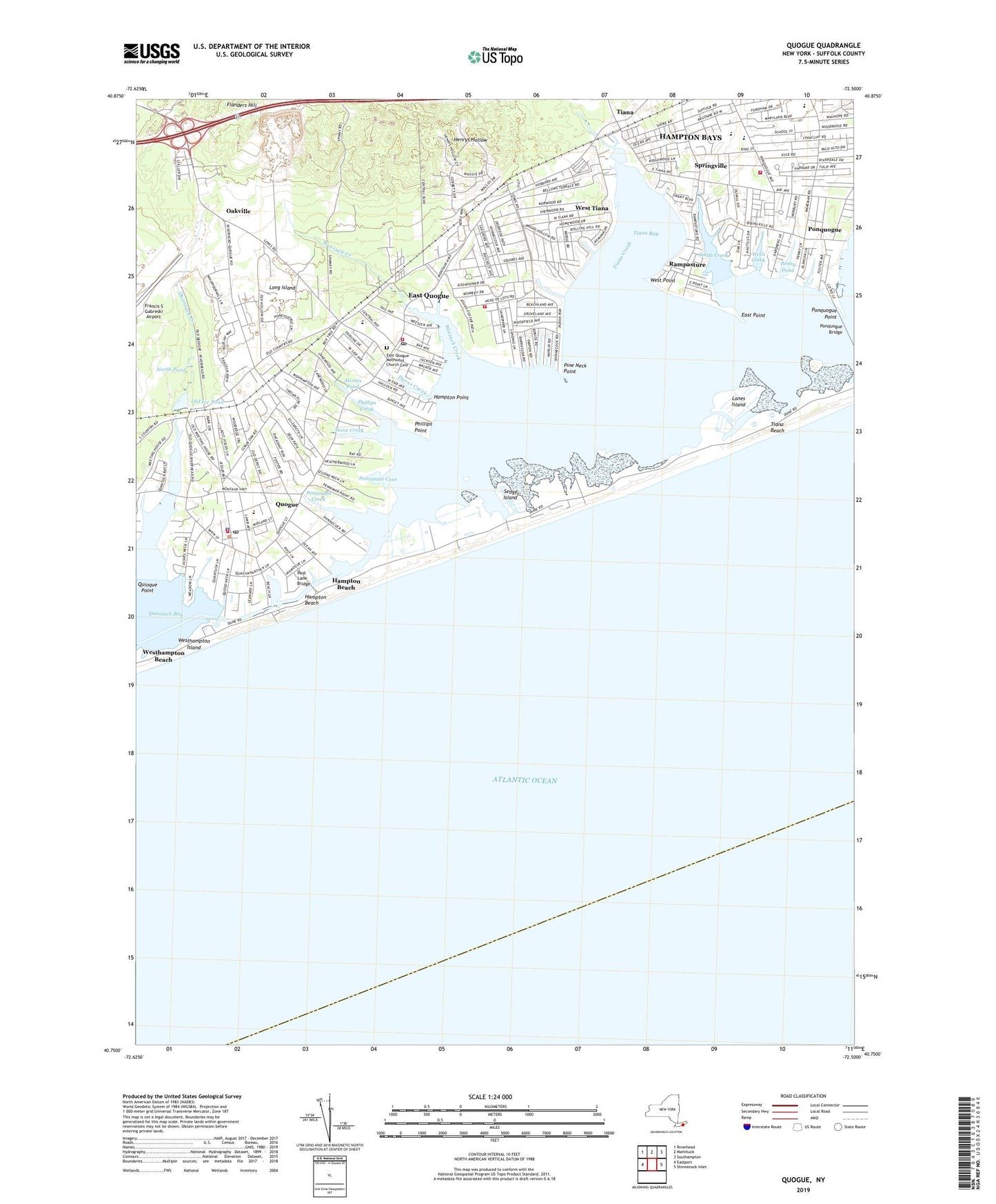
2023 topographic map quadrangle Quogue in the state of New York. Scale: 1:24000. Based on the newly updated USGS 7.5' US Topo map series, this map is in the following counties: Suffolk. The map contains contour data, water features, and other items you are used to seeing on USGS maps, but also has updated roads and other features. This is the next generation of topographic maps. Printed on high-quality waterproof paper with UV fade-resistant inks.
Quads adjacent to this one:
West: Eastport
Northwest: Riverhead
North: Mattituck
Northeast: Southampton
East: Shinnecock Inlet
This map covers the same area as the classic USGS quad with code o40072g5.
Contains the following named places: Alcotts Pond, Christ Our Saviour Lutheran Church, Church of the Atonement, Coast Guard Station Shinnecock, Daves Creek, East Point, East Quogue, East Quogue Census Designated Place, East Quogue Fire Station, East Quogue Methodist Church Cemetery, East Quogue Mobile Home Park, East Quogue Post Office, East Quogue School, East Quogue United Methodist Church, Flanders Hill, Hampton Bays, Hampton Bays Assembly of God Church, Hampton Bays Census Designated Place, Hampton Bays Elementary School, Hampton Bays Fire Department Sub Station, Hampton Bays Mobile Home Park, Hampton Bays Public Library, Hampton Bays Secondary School, Hampton Beach, Hampton Point, Henrys Hollow, Lanes Island, North Pond, Oakville, Ogden Pond, Old Ice Pond, Penniman Cove, Penniman Creek, Penny Pond, Phillips Creek, Phillips Point, Pine Neck, Pine Neck Point, Ponquogue, Ponquogue Bridge, Ponquogue Point, Post Lane Bridge, Quantuck Bay, Quantuck Creek, Quogue, Quogue Beach Club, Quogue Canal, Quogue Community Hall, Quogue Elementary School, Quogue Field Club, Quogue Fire Department, Quogue Library, Quogue Life Saving Station, Quogue Post Office, Quogue Station, Quogue Waterfowl Refuge, Rampasture, Saint Mary's Episcopal Church, Saint Paul African Methodist Episcopal Zion Church, Saint Rosalies Roman Catholic Mission, Sedge Island, Shinnecock County Park West, Shinnecock Yacht Club, Smith Creek, Springville, Stone Creek, Surf Club of Quogue, Tiana, Tiana Bay, Tiana Beach, Tiana Creek, Tiana Life Saving Station, Village of Quogue, Weesuck Creek, Wells Creek, West Point, West Tiana, Westhampton Beach, Westhampton Island, WWHB-FM (Hampton Bays), ZIP Codes: 11942, 11946, 11959


