MyTopo
Ripley New York US Topo Map
Couldn't load pickup availability
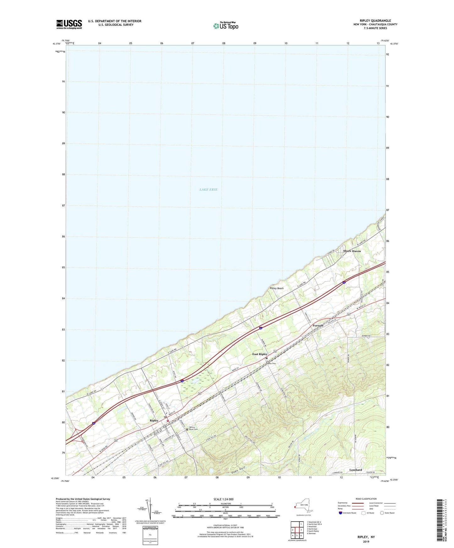
2023 topographic map quadrangle Ripley in the state of New York. Scale: 1:24000. Based on the newly updated USGS 7.5' US Topo map series, this map is in the following counties: Chautauqua. The map contains contour data, water features, and other items you are used to seeing on USGS maps, but also has updated roads and other features. This is the next generation of topographic maps. Printed on high-quality waterproof paper with UV fade-resistant inks.
Quads adjacent to this one:
Northeast: Westfield OE N
East: Westfield
Southeast: Sherman
South: South Ripley
Southwest: North East
This map covers the same area as the classic USGS quad with code o42079c6.
Contains the following named places: East Ripley, East Ripley Cemetery, Endpoint Toll Plaza, First Baptist Church, First Presbyterian Church, Forsyth, Foursquare Gospel Church, Lakeside Campground, Lombard, McIntosh Farms, Quincy Rural Cemetery, Ripley, Ripley Airport, Ripley Beach, Ripley Census Designated Place, Ripley Central School, Ripley Fire Department Station 1, Ripley Foursquare Church, Ripley Free Library, Ripley Post Office, Saint Thomas More Roman Catholic Church, Shore Haven, United Methodist Church of Ripley