MyTopo
Rock City New York US Topo Map
Couldn't load pickup availability
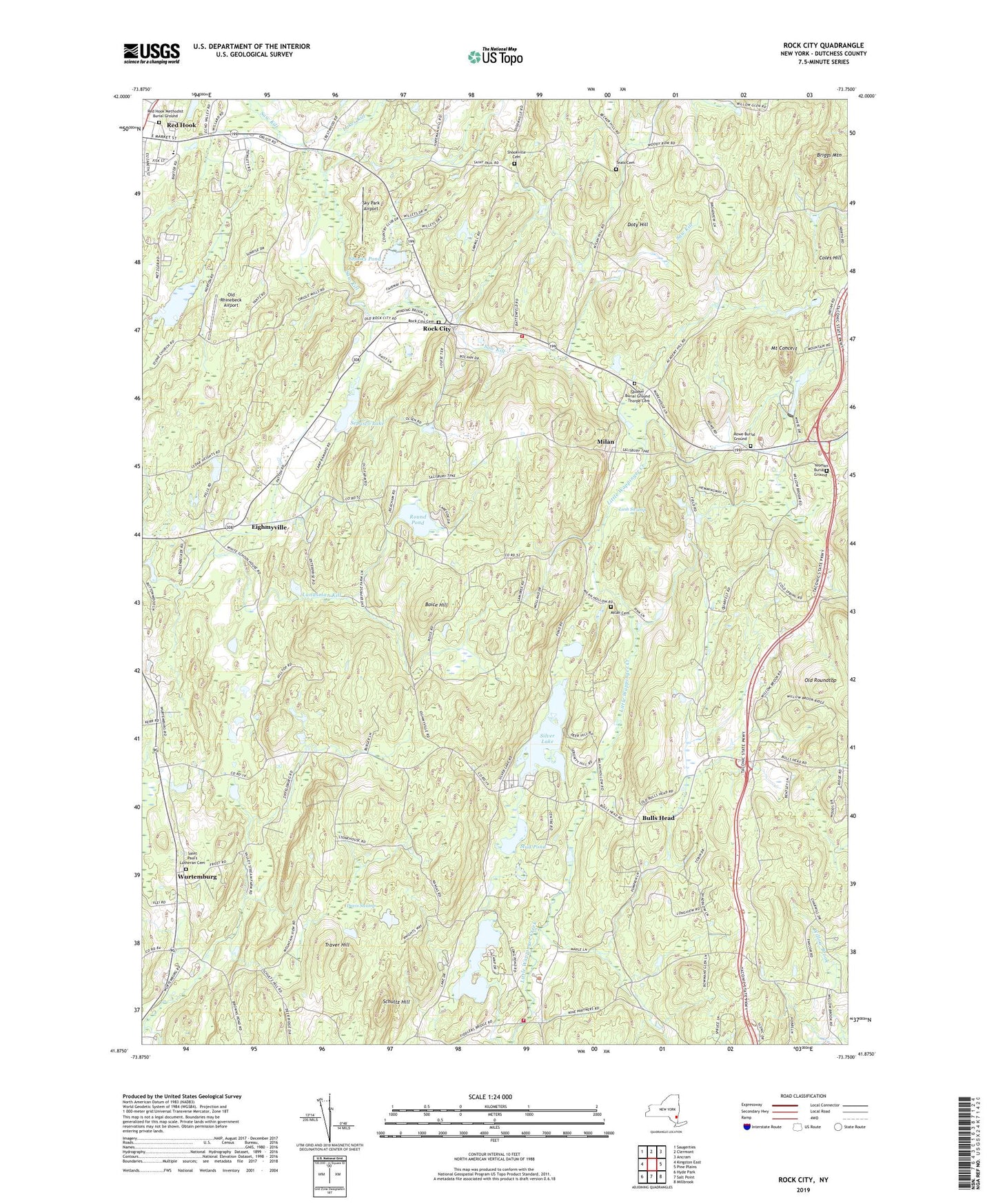
2023 topographic map quadrangle Rock City in the state of New York. Scale: 1:24000. Based on the newly updated USGS 7.5' US Topo map series, this map is in the following counties: Dutchess. The map contains contour data, water features, and other items you are used to seeing on USGS maps, but also has updated roads and other features. This is the next generation of topographic maps. Printed on high-quality waterproof paper with UV fade-resistant inks.
Quads adjacent to this one:
West: Kingston East
Northwest: Saugerties
North: Clermont
Northeast: Ancram
East: Pine Plains
Southeast: Millbrook
South: Salt Point
Southwest: Hyde Park
This map covers the same area as the classic USGS quad with code o41073h7.
Contains the following named places: Boice Hill, Briggs Mountain, Briggs School, Bulls Head, Bulls Head Church, Camp Boiberik, Camp Briar, Camp Eton, Camp Habonin, Camp Kanawha Minawha, Camp Rising Sun, Case School, Chimney Hill Farm, Clinton Alliance Church, Clinton Town Hall, Coles Hill, Davis Swamp, Doty Hill, Eighmyville, Homestead Farm, Interlake Recreational Vehicle Park Campground, Lakes Kill, Long Pond, Lush Swamp, Marks Camp, Memorial Lutheran Church, Milan, Milan Cemetery, Milan Fire Department Station 2, Mount Concert, Mountain View Mobile Estates, Mud Pond, Northern Dutchess Bible Church, Northern Dutchess Christian School, Northern Dutchess Mobile Home Park, Old Rhinebeck Airport, Old Roundtop, Quaker Burial Ground - Thorpe Cemetery, Red Hook Golf Club, Red Hook Methodist Burial Ground, Rock City, Rock City Cemetery, Round Pond, Rowe Burial Ground, Rowe United Methodist Church, Saint Paul's Lutheran Cemetery, Saint Paul's Lutheran Church, School Number 2, Schultz Hill, Schultzville, Sepasco Lake, Shooks Pond, Shookville Cemetery, Silver Lake, Sky Park Airport, Teats Cemetery, Town of Milan, Traver Hill, West Clinton Fire Department Station 2, White School, Wilcox Memorial Town Hall, Willow Glen School, Wurtemburg, Yeoman Burial Ground, ZIP Codes: 12514, 12572


