MyTopo
Roscoe New York US Topo Map
Couldn't load pickup availability
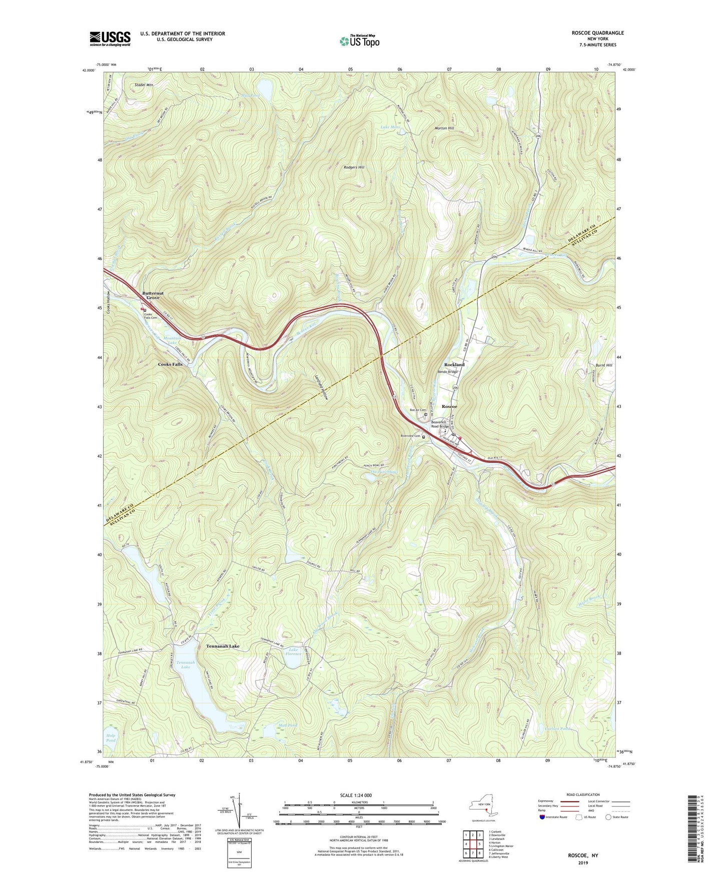
2023 topographic map quadrangle Roscoe in the state of New York. Scale: 1:24000. Based on the newly updated USGS 7.5' US Topo map series, this map is in the following counties: Sullivan, Delaware. The map contains contour data, water features, and other items you are used to seeing on USGS maps, but also has updated roads and other features. This is the next generation of topographic maps. Printed on high-quality waterproof paper with UV fade-resistant inks.
Quads adjacent to this one:
West: Horton
Northwest: Corbett
North: Downsville
Northeast: Lewbeach
East: Livingston Manor
Southeast: Liberty West
South: Jeffersonville
Southwest: Callicoon
This map covers the same area as the classic USGS quad with code o41074h8.
Contains the following named places: Abe Wood Brook, Agloe, Beaverkill Road Bridge, Bendo Bridge, Bon Air Cemetery, Butternut Grove, Camp Highmount, Carlson Pond, Cook Brook, Cooks Falls, Cooks Falls Cemetery, Cooks Falls Fire Company, Cooks Hollow, Holp Pond, Horse Brook, James Carl Memorial Heliport, Lake Florence, Lake Mimi, Lake Muskoday, Lanfield Hollow, Morton Hill, Mountain Lake, Mud Pond, Parker Cook Hollow, Riverview Cemetery, Roaring Brook, Rockland, Rockland - Roscoe Volunteer Ambulance Corps, Rodgers Hill, Roscoe, Roscoe - Rockland Volunteer Fire Department Station 1, Roscoe - Rockland Volunteer Fire Department Station 2, Roscoe Campsites, Roscoe Census Designated Place, Roscoe Free Library, Roscoe Post Office, Russell Brook, Skytop Airport, Spring Brook, Stadel Mountain, Stewart Brook, Tennanah Lake, Tennanah Lake Golf and Tennis Club, The Punchbowl, Twin Village Golf Club, Willowemoc Creek, ZIP Code: 12776