
MyTopo
Westdale New York US Topo Map
Couldn't load pickup availability
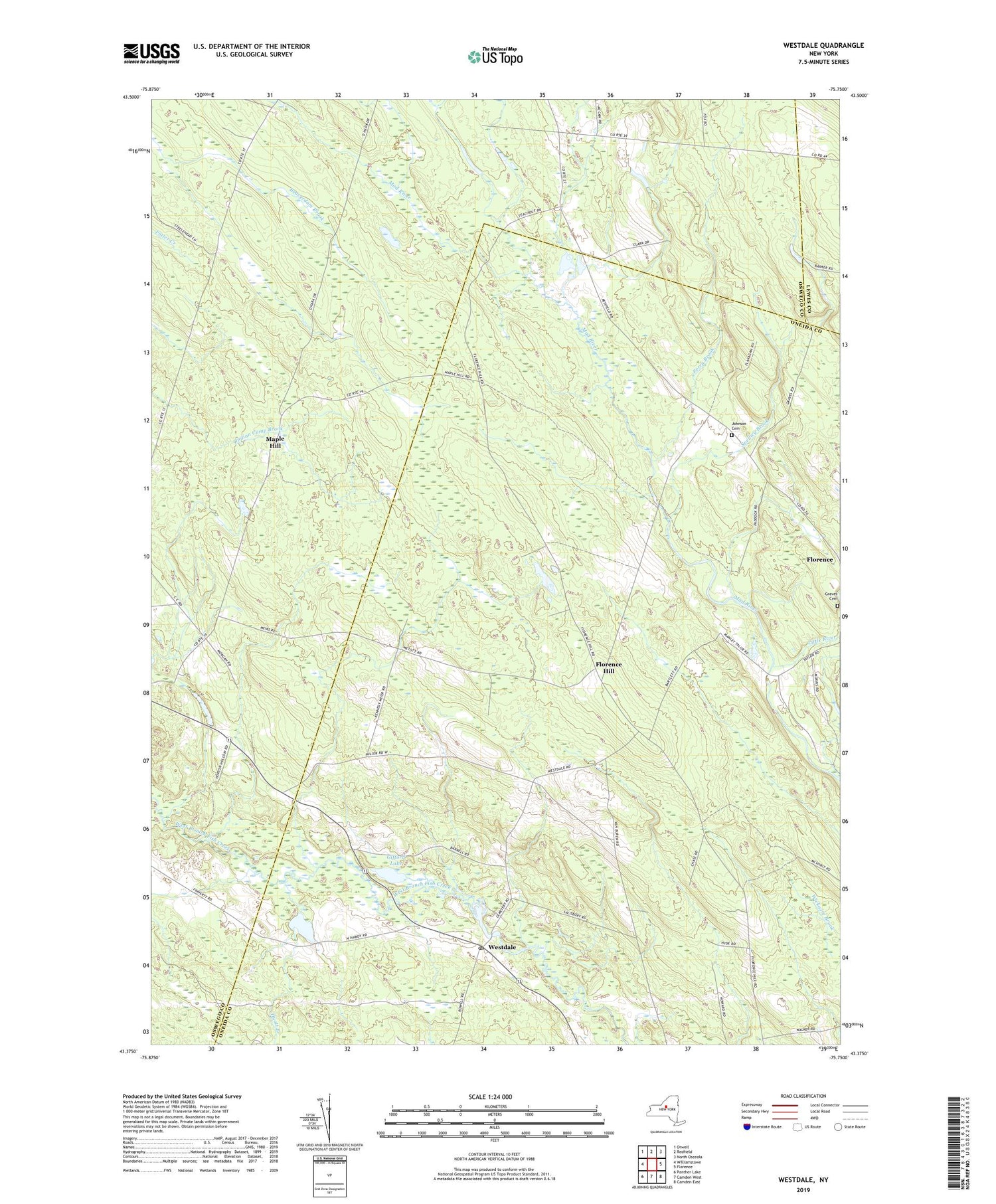
2019 topographic map quadrangle Westdale in the state of New York. Scale: 1:24000. Based on the newly updated USGS 7.5' US Topo map series, this map is in the following counties: Oneida, Oswego, Lewis. The map contains contour data, water features, and other items you are used to seeing on USGS maps, but also has updated roads and other features. This is the next generation of topographic maps. Printed on high-quality waterproof paper with UV fade-resistant inks.
Quads adjacent to this one:
West: Williamstown
Northwest: Orwell
North: Redfield
Northeast: North Osceola
East: Florence
Southeast: Camden East
South: Camden West
Southwest: Panther Lake
Contains the following named places: Camden Woods, Finnerty Hill Tree Farm, Florence Hill, Gifford Lake, Graves Cemetery, Hyatt Branch, Johnson Cemetery, Little River, Maple Hill, Perry Brook, School Number 1, School Number 12, School Number 2, School Number 3, School Number 4, School Number 5, School Number 8, School Number 9, Spellicy Brook, Union Church, Westdale, Westdale Federated Church, Westdale Post Office, ZIP Code: 13483


