MyTopo
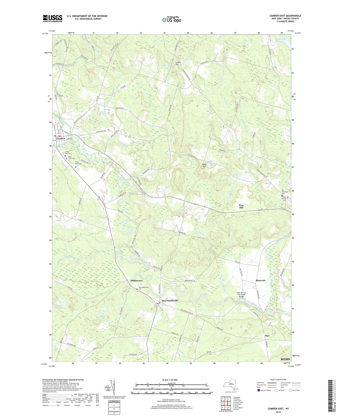
Camden East New York US Topo Map
Couldn't load pickup availability
2023 topographic map quadrangle Camden East in the state of New York. Scale: 1:24000. Based on the newly updated USGS 7.5' US Topo map series, this map is in the following counties: Oneida. The map contains contour data, water features, and other items you are used to seeing on USGS maps, but also has updated roads and other features. This is the next generation of topographic maps. Printed on high-quality waterproof paper with UV fade-resistant inks.
Quads adjacent to this one:
West: Camden West
Northwest: Westdale
North: Florence
Northeast: Point Rock
East: Lee Center
Southeast: Verona
South: Sylvan Beach
Southwest: Jewell
This map covers the same area as the classic USGS quad with code o43075c6.
Contains the following named places: Adirondack Manor Assisted Living Center, Annsville Area School, Blennes Corner, Blossvale, Blossvale Post Office, Camden, Camden Central School, Camden Elementary School, Camden Fire Department, Camden Middle School, Camden Post Office, Camden Public Library, Camden Town Hall, Camden Village Hall, Camden Village Wastewater Treatment Plant, Camden Wesleyan Church, Cobb Brook, Cold Brook, Corkin Hill, Dibbletown, East Branch Fish Creek, Emmons Brook, Faulkner Ponds, Forest Lawn Cemetery, Forest Park Cemetery, Free Methodist Church, Glenridge Mobile Home Park, Little River, Living Hope Assembly of God Church, Mack Pond, Mad River, McConnellsville, McConnellsville Cemetery, McConnellsville Community Church, McConnellsville Fire Department, McConnellsville Golf Club, Old State Road Protestant Cemetery, Pine, Pine Hill, Pond Hill, Queen Village Bible Church, Saint Johns Cemetery, Saint John's Roman Catholic Church, Saint Patrick Cemetery, School Number 1, School Number 10, School Number 11, School Number 12, School Number 13, School Number 14, School Number 2, School Number 5, School Number 7, School Number 9, Trinity Episcopal Church, United Church, United Methodist Church of Camden, Village of Camden, West Branch Fish Creek, West Branch Fish Creek Bridge, Wickwire Brook, ZIP Code: 13308


